Tropical Storm Kristine: Brace for heavy rainfall in S. Luzon, Visayas
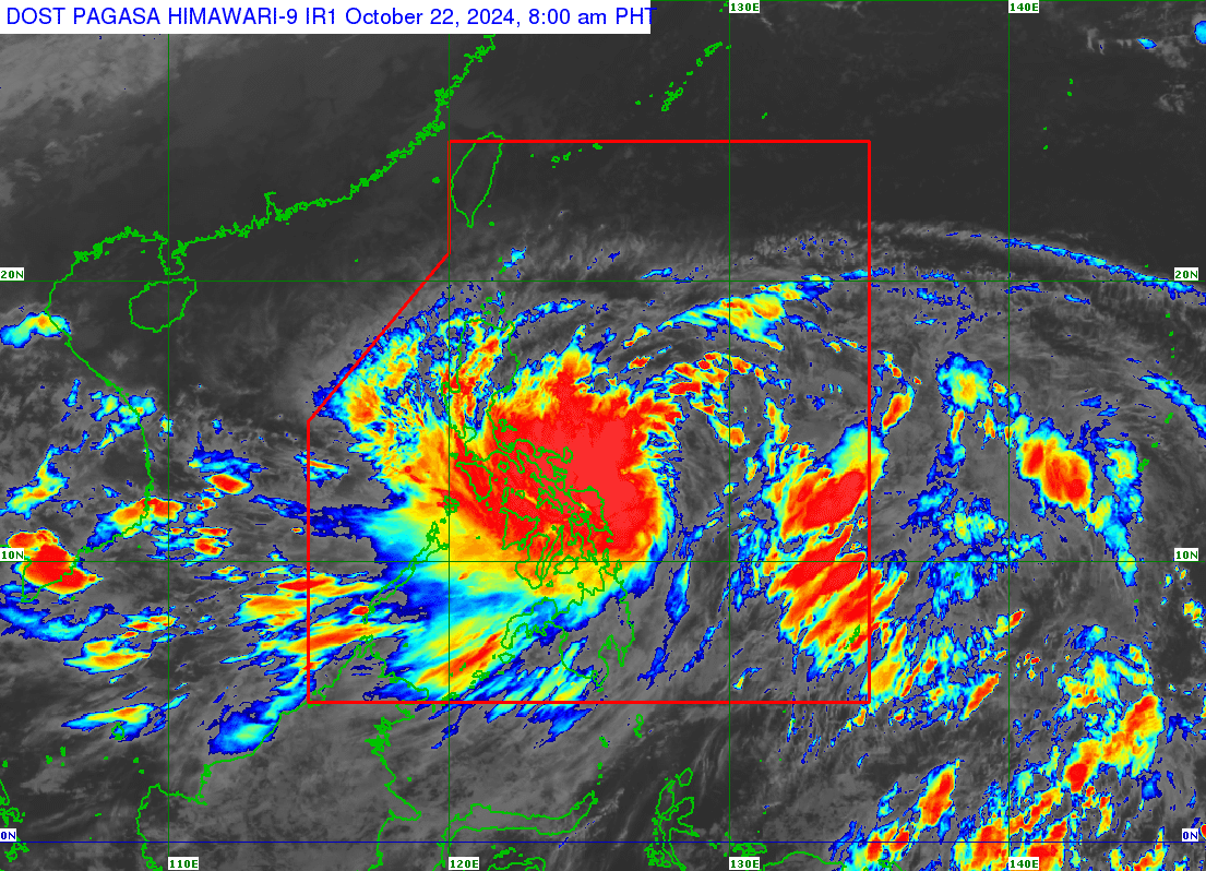
A heavy rainfall warning due to Tropical Storm Kristine is issued over areas in Southern Luzon and Visayas on Tuesday morning, October 22, 2024. Weather satellite image from Pagasa
MANILA, Philippines — A heavy rainfall warning due to Tropical Storm Kristine (international name: Trami) was issued over areas in Southern Luzon and Visayas on Tuesday morning.
The Philippine Atmospheric, Geophysical and Astronomical Services Administration (Pagasa) said in its 5 a.m. bulletin that a red rainfall warning is in effect in Northern Samar, Catanduanes, Sorsogon, Camarines Sur, and Albay.
Severe flooding is expected in flood-prone areas where the red warning is hoisted, and there is an increased risk of landslides in landslide-prone regions, according to Pagasa.
Pagasa likewise said that an orange rainfall warning is up over Eastern Samar, Samar, Biliran, and the northern portion of Leyte (Palompon, Matag-Ob, Santa Fe, Tabontabon, Tolosa, Dagami, Tanauan, Palo, Pastrana, Jaro, Tunga, Alangalang, Tacloban City, San Miguel, Babatngon, Barugo, Carigara, Capoocan, Kananga, Ormoc City, Merida, Isabel, Villaba, Leyte, Tabango, San Isidro, Calubian), and Cebu (Tabogon, Bogo City, San Remigio, Medellin, Daanbantayan, Santa Fe, Bantayan, Madridejos).
READ: Kristine now a tropical storm; Signal No. 1 up in 24 areas nationwide
Article continues after this advertisementIt also raised a yellow rainfall warning over the southern portion of Leyte (Mayorga, Matalom, Mahaplag, Macarthur, La Paz, Julita, Javier, Inopacan, Hindang, Hilongos, Dulag, Burauen, Baybay City, Bato, Albuera, Abuyog); and Cebu (Pilar, Tudela, Poro, Catmon, Tuburan, Sogod, Tabuelan, Borbon, San Francisco).
Article continues after this advertisementPagasa warned that flooding in low-lying areas and near river channels is possible in places under the orange rainfall and yellow rainfall warnings.
Pagasa added that light to moderate, with at times heavy rains will affect the following areas on Tuesday, October 22:
- Iloilo
- Antique
- Aklan
- Capiz
- Guimaras
- Negros Occidental
- Negros Oriental
- Siquijor
- Cebu (Danao City, Balamban, Compostela, Consolacion, Mandaue City, Lapu-Lapu City, Cordova, Cebu City, Talisay City, Minglanilla, Toledo City, Naga City, Pinamungahan, San Fernando, Aloguinsan, Barili, Carcar, Carmen, Asturias, Dumanjug, Sibonga, Argao, Ronda, Alcantara, Moalboal, Badian, Dalaguete, Alcoy, Alegria, Malabuyoc, Boljoon, Oslob, Ginatilan, Samboan, Santander)
The state weather agency said that the areas mentioned may experience rain for two to three hours and that the rain may also affect places nearby.
Pagasa reported that Tropical Storm Kristine was spotted 390 kilometers (km) east of Virac, Catanduanes early Tuesday morning.
It was packing maximum sustained winds of 65 kilometers per hour (kph) near the center, with gusts of up to 90 kph.
Kristine is also slowly moving westward at 15 kph, according to state meteorologists.
Based on Pagasa’s latest track forecast, Kristine may make landfall over Isabela on Wednesday evening and may exit the Philippine area of responsibility by Friday evening.