
Photo from the Philippine Atmospheric, Geophysical and Astronomical Services Administration
MANILA, Philippines — Tropical Depression Gener maintained its strength while moving over Kabungan, Benguet, the state weather bureau said on Tuesday morning.
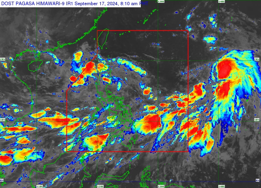
According to the Philippine Atmospheric, Geophysical and Astronomical Services Administration’s (Pagasa) 11 a.m. bulletin, Gener is also expected to enhance the southwest monsoon, or habagat, bringing strong winds over Batanes, Mimaropa, Bicol Region, Visayas, and Mindanao for the rest of Tuesday.
Pagasa said Gener was moving westward at 15 kilometers per hour (kph). It was packing maximum sustained winds of 45 kph and gusts of up to 55 kph.
“Gener is forecast to have limited intensification within the forecast period, although it may reach tropical storm category by tomorrow morning,” it added.
Meanwhile, Pagasa lifted Tropical Cyclone Wind Signal Number 1 in the following areas:
- Bulacan
- The northern and central portions of Bataan (Dinalupihan, Orani, Hermosa)
- Aurora
- The northern portion of Quezon (General Nakar, Infanta) including the Polillo Islands
- The northern portions of Rizal (Rodriguez, San Mateo)
- The northern portion of Metro Manila (Quezon City, Caloocan City, City of Valenzuela, City of Malabon, City of Navotas, City of Marikina, City of Manila, City of San Juan, City of Mandaluyong)
Below is the list of areas that remain under signal no. 1:
- Cagayan including Babuyan Islands
- Isabela
- Quirino
- Nueva Vizcaya
- Apayao
- Kalinga
- Abra
- Ifugao
- Mountain Province
- Benguet
- Ilocos Norte
- Ilocos Sur
- La Union
- Pangasinan
- Zambales
- Tarlac
- Nueva Ecija
- Pampanga
READ: LPA now a tropical depression; Signal No. 1 up in northern Luzon areas
Pagasa raised a gale warning over several coastal waters in the northern seaboard of Northern Luzon, the western and southern seaboards of Southern Luzon, the seaboards of Visayas, and the western, northern, and eastern seaboards of Mindanao.
Pagasa also reported that Gener will emerge over the West Philippine Sea on Tuesday. It is expected to exit the Philippine area of Responsibility on Tuesday night or Wednesday morning.