
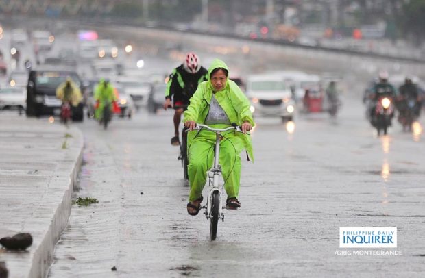
Bikers endure the rain with colorful raincoats, jackets, and other rain gear as they ride along the stretch of Commonwealth Avenue in Quezon City on a rainy morning. (File photo from INQUIRER/GRIG C. MONTEGRANDE)
MANILA, Philippines — Overcast skies and rains are seen in many parts of the country on Monday due to southwest monsoon or habagat, according to the state weather bureau.
“Marami ang kaulapan sa Visayas at Mindanao,” said Obet Badrina, weather specialist of the Philippine Atmospheric, Geophysical and Astronomical Services Administration (Pagasa).
(There are many cloud clusters in Visayas and Mindanao.)

Badrina said the Bicol Region, Mimaropa (Occidental Mindoro, Oriental Mindoro, Marinduque, Romblon, Palawan), Quezon and the western section of Visayas and Mindanao are expected to have overcast skies and rains.
On the other hand, Metro Manila and the rest of the country are set to have fair weather.
Meanwhile, Pagasa is also monitoring a typhoon outside the Philippine area of responsibility.
READ: 2 to 3 tropical cyclones expected in August
Typhoon Shanshan is located 1,469 kilometers east northeast of Extreme Northern Luzon, packing maximum sustained winds of 140 kilometers per hour (kph) with gutsiness of 170 kph.
“Wala nang tyansa na pumasok ito sa Philippine Area of Responsibility, at ito ay patungo na sa bahagi ng Japan,” Badrina said.
(It has no chance of entering the Philippine Area of Responsibility and is now heading towards Japan.)
“Sa ngayon, medyo maliit ang tyansa na ito ay mag-super typhoon,” he added.
(For now, it has a low chance of becoming a super typhoon.)
Meanwhile, Pagasa did not raise a gale warning in any seaboards nationwide.