
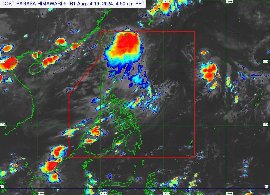
(Satellite photo from Pagasa)
MANILA, Philippines — Dindo, the country’s fourth tropical cyclone in 2024, has intensified into a tropical storm and is expected to leave the country’s area of responsibility within six hours, according to the Philippine Atmospheric, Geophysical and Astronomical Services Administration (Pagasa) early Monday morning.
In its 5 a.m, bulletin, Pagasa said the center of tropical storm Dindo was located 640 kilometers (km) northeast of Itbayat, Batanes.

It has maximum sustained winds of 65 kph near the center, gustiness of up to 80 kph, and it is moving northeastward at 10 kph.
At the moment, no tropical cyclone wind signals have been raised as a result of this weather disturbance.
“Dindo is unlikely to directly affect the weather condition[s] in the country within the forecast period,” said Pagasa.
“[It] is forecast to move generally northward within the forecast period and exit the Philippine Area of Responsibility (PAR) within the next 6 hours. Outside the PAR region, Dindo will move over the East China Sea towards either the Korean Peninsula or the coast of eastern China,” it added.
READ: LPA seen brewing into a storm in PAR off Northern Luzon may exit soon
According to the state weather bureau, Dindo will likely remain a tropical storm within the forecast period.
Intensification will also be limited outside the PAR region, with a potential for a weakening trend beyond the next 24 hours.