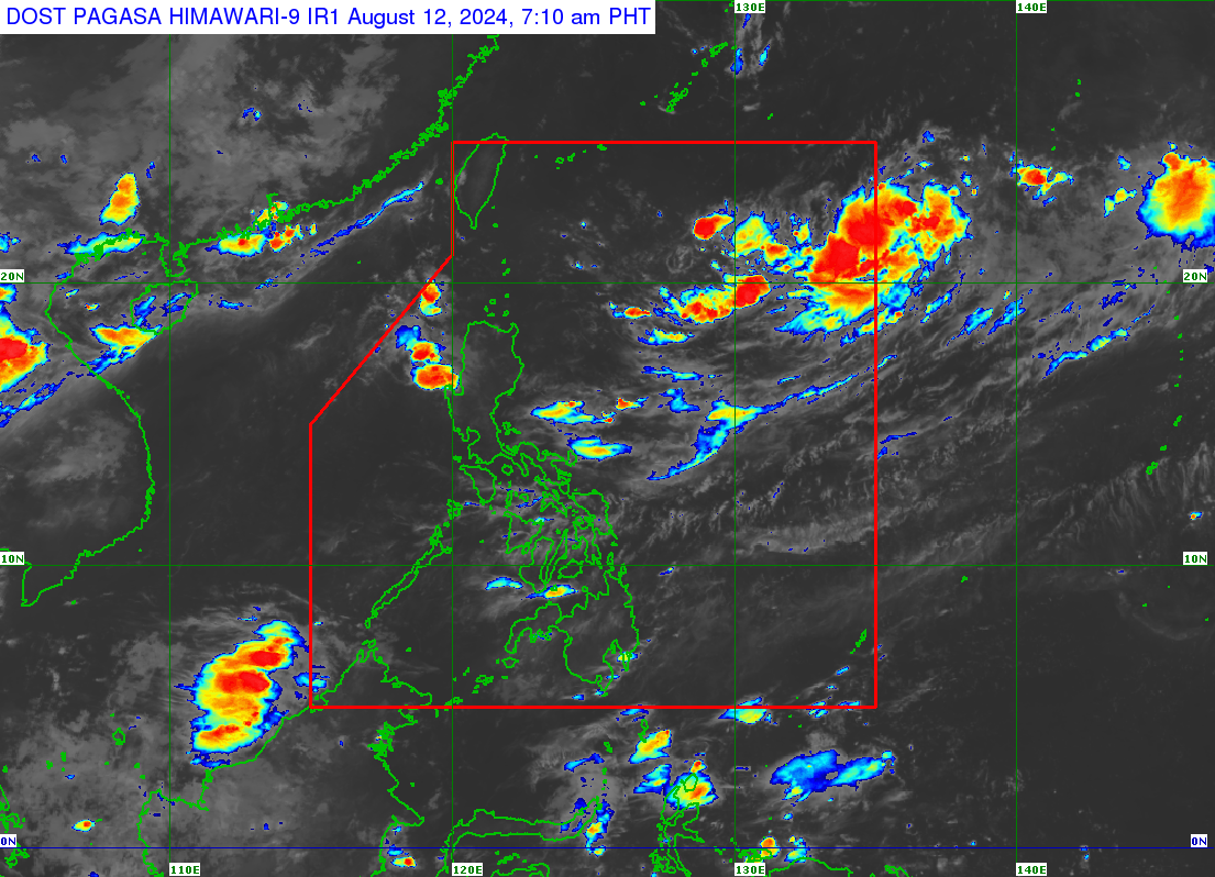
LPA seen brewing into a storm in PAR off Northern Luzon may exit soon
MANILA, Philippines — There is a big likelihood that the low-pressure area (LPA) inside the Philippine area of responsibility off Extreme Northern Luzon will become a tropical cyclone today (Monday, August 12).
“Itong low-pressure area na ito ay malaki ang tsansang maging bagyo ngayong araw na ito,” said Obet Badrina, weather specialist of the Philippine Atmospheric, Geophysical and Astronomical Services Administration (Pagasa), in a public weather forecast.
(The low-pressure has a big chance of developing into a tropical cyclone today.)
It will be called Dindo once it turns into a tropical cyclone and will be the fourth storm this year, according to Badrina.
READ: 2 to 3 tropical cyclones expected in August
Article continues after this advertisementAs of 3:00 a.m., the LPA was last spotted 1,375 kilometers from Extreme Northern Luzon.
Article continues after this advertisement“Pero possible din na ito ay palabas na ng Philippine area of responsibility,” Badrina also said of the LPA.
(But it is also possible that this weather disturbance is already leaving PAR.)
Despite this situation, the LPA has no direct effect on the country.
The southwest monsoon, or habagat, affects the weather, according to Badrina.
Ilocos Region, Zambales, and Bataan are expected to have cloudy skies with scattered rains and thunderstorms.
Meanwhile, partly cloudy to cloudy skies with isolated rain showers and thunderstorms will prevail in Metro Manila and the rest of the country.
Pagasa did not raise a gale warning in any seaboards nationwide.
