
Photo courtesy of Pagasa
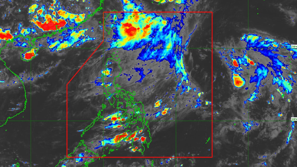
MANILA, Philippines — The low-pressure area (LPA) near Itbayat, Batanes has a high chance of developing into a tropical cyclone in 24 hours, the state weather bureau said on Sunday afternoon.
The Philippine Atmospheric, Geophysical, and Astronomical Services Administration (Pagasa) said the LPA entered the Philippine Area of Responsibility (PAR) around 8 a.m.
READ: Cloudy skies seen in Northern Luzon, thunderstorms forecast in other areas
“Kaninang alas tres ng hapon ay nasa layo itong 630 kilometers Northeast of Itbayat, Batanes. Itong LPA nga na ito within 24 hours tumataas yung tsansa na maging bagyo,” weather specialist Veronica Torres said.
(It was last spotted 630 kilometers Northeast of Itbayat, Batanes around 3 p.m. This LPA has a high chance of becoming a typhoon within 24 hours.)
She also said the LPA may leave the PAR within 24 hours.
Pagasa is also monitoring another LPA, which is still out the PAR.
Meanwhile, the southwest monsoon continues to bring scattered rain showers over parts of Extreme Northern Luzon, particularly Batanes and Babuyan Islands.