
Image from the DOST / Pagasa
MANILA, Philippines — Tropical Cyclone Wind Signal No. 2 is still raised in Batanes as typhoon Carina (international name: Gaemi) continues to intensify over the Philippine sea on Tuesday afternoon, according to the state weather bureau.
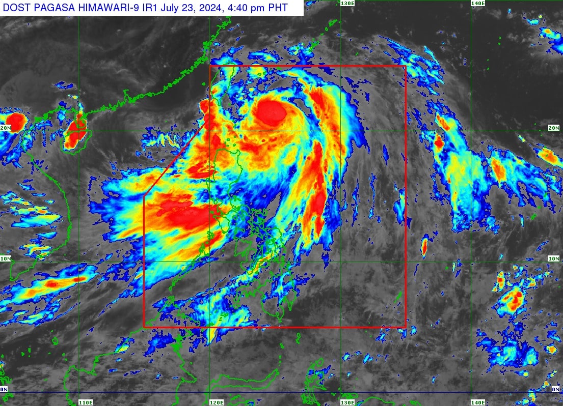
In its latest cyclone update, the Philippine Atmospheric, Geophysical and Astronomical Services Administration (Pagasa) reported that Carina was last spotted some 325 kilometers east northeast of Basco, Batanes.
READ: Metro Manila, other areas under ‘Orange’ alert, flood likely – Pagasa
It was moving northward at 20 kilometers per hour (kph) carrying maximum sustained winds of 150 kph with gusts of up to 185 kph.

READ: LIVE UPDATES: Typhoon Carina
Aside from Batanes, the following areas remain under Signal no. 1:
- Cagayan including Babuyan Islands
- The eastern portion of Isabela (Divilacan, Palanan, Maconacon, Dinapigue, Tumauini, Ilagan City, San Mariano, Cabagan, San Pablo, Santa Maria)
- The northern portion of Apayao (Calanasan, Luna, Pudtol, Flora, Santa Marcela, Kabugao)
- The northern portion of Ilocos Norte (Pagudpud, Bangui, Adams, Dumalneg, Burgos, Vintar, Pasuquin, Bacarra, Carasi)
Carina has also enhanced the southwest monsoon or habagat, which will bring “moderate to intense rainfall over various localities in the western portion of Luzon today through Thursday.”
Below are the areas forecast to experience strong to gale-force gusts due to habagat:
- Ilocos Region
- Abra
- Benguet
- Nueva Vizcaya
- Quirino
- Zambales
- Bataan
- Aurora
- Metro Manila
- Calabarzon
- Mimaropa
- Bicol Region
- Visayas
- Zamboanga Peninsula
- Northern Mindanao
Meanwhile, a gale warning is also raised over the coastal waters of Batanes, Babuyan Islands, and the northeastern portion of Cagayan.

Pagasa said Carina will remain far from the Philippine landmass and will make landfall over the northern portion of Taiwan on Wednesday evening and Thursday (25 July) morning, then exit the Philippine area of Responsibility hours later.