Storm Carina intensifies as it moves near Aurora, no typhoon signal so far
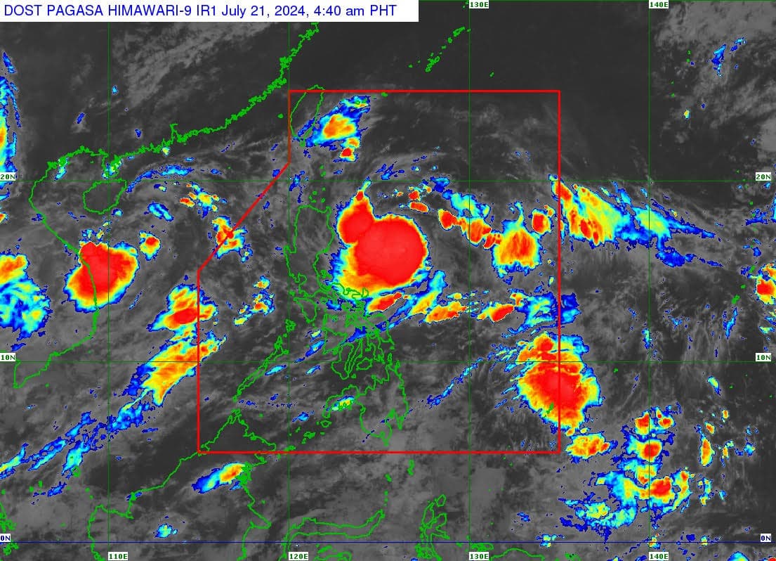
(Satellite photo from Pagasa)
MANILA, Philippines — Tropical storm Carina (international name: Gaemi) slightly intensified while moving east of Casiguran, Aurora, according to the Philippine Atmospheric, Geophysical and Astronomical Services Administration (Pagasa).
Based on its latest cyclone update, Pagasa said Carina was last spotted 490 kilometers east of Casiguran in Aurora, carrying maximum sustained winds of 75 kilometers per hour (kph) and gusts of up to 90 kph.
READ: Pagasa: Carina now a tropical storm; may intensify into typhoon by Tuesday

It is currently moving west-northwestward over the Philippine Sea at 10 kph.
Despite this development, no wind signal was hoisted in any part of the country.
Carina is forecast to move in the same direction for the rest of Sunday and Monday, then northward on Tuesday.
The tropical storm will remain far from the country’s landmass and is expected to exit the Philippine area of Responsibility on Wednesday (July 24).
“Carina is forecast to steadily intensify over the next four days due to a favorable environment,” Pagasa reported.
“It is forecast to become a severe tropical storm by tomorrow and reach typhoon category on Tuesday. Rapid intensification within the forecast period is possible,” it noted.