


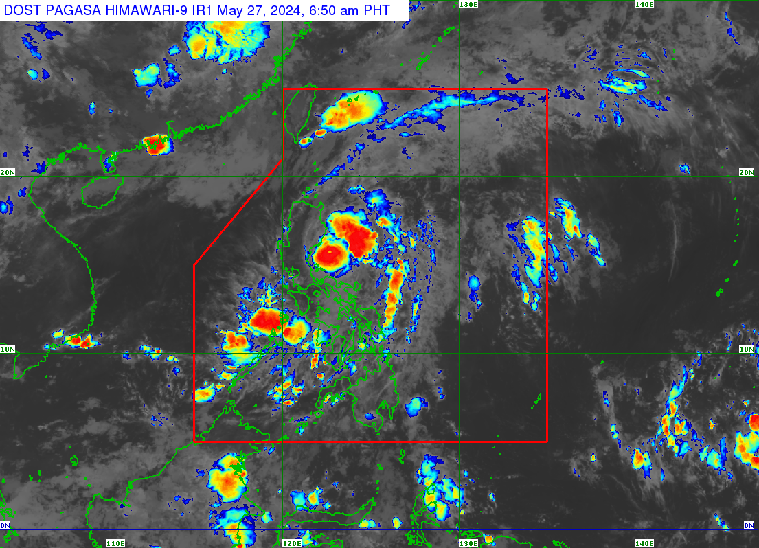
Typhoon Aghon (international name: Ewiniar) slightly intensifies over the Philippine Sea, with Signal No. 2 still raised over three Luzon areas on Monday morning, May 27. | Satellite photo from Pagasa
MANILA, Philippines — Typhoon Aghon (international name: Ewiniar) slightly intensified on Monday morning as it moved away from the country over the Philippine Sea.
Based on its latest advisory, the Philippine Atmospheric, Geophysical, and Astronomical Services Administration (Pagasa) said Aghon was last spotted 105 kilometers east of Baler, Aurora.
READ: Aghon, now a typhoon, is over the coastal waters of Burdeos, Quezon

It moves north-northeastward at 10 kilometers per hour (kph), carrying maximum sustained winds of 140 kph and gustiness of up to 170 kph.
“Mananatili po itong typhoon category hanggang paglabas ng (it is expected to remain in typhoon category until it exits the) Philippine area of responsibility (PAR),” said Pagasa weather specialist Rhea Torres.
Aghon is expected to exit PAR by Wednesday evening.
With its strength further increasing, tropical cyclone wind signal no. 2 (gale force winds with minor to moderate threat to life and property) remains hoisted in the following areas:
Luzon
- Southeastern portion of Isabela (Dinapigue, Palanan),
- Northern portion of Aurora (Baler, Dipaculao, Dinalungan, Dilasag, Casiguran)
- Polillo Islands
Signal no. 1 (minimal to minor threat), on the other hand, is raised in the following:
Luzon
- Northeastern and southern portions of Isabela (Divilacan, San Mariano, San Guillermo, Jones, Echague, San Agustin, Ilagan City, Benito Soliven, City of Cauayan, Maconacon, Angadanan, Naguilian)
- Eastern portion of Quirino (Maddela, Nagtipunan, Aglipay)
- Eastern portion of Nueva Vizcaya (Alfonso Castaneda, Dupax del Sur, Dupax del Norte),
- Rest of Aurora
- Eastern portion of Nueva Ecija (General Tinio, Gabaldon, Bongabon, Pantabangan, Rizal, General Mamerto Natividad, Laur, Palayan City, Peñaranda, San Leonardo, City of Gapan, Cabanatuan City, Santa Rosa, Llanera), the eastern portion of Bulacan (San Miguel, San Ildefonso, Doña Remedios Trinidad, Norzagaray), Rizal
- Northeastern portion of Laguna (Pakil, Mabitac, Pangil, Famy, Siniloan, Santa Maria, Paete, Kalayaan, Lumban),
- Northern and central portions of Quezon (General Nakar, Infanta, Real, Mauban, Perez, Alabat, Quezon, Calauag, Tagkawayan, Guinayangan, Lopez, Atimonan, Gumaca, Plaridel)
- Western portion of Camarines Norte (Santa Elena, Vinzons, Labo, Capalonga, Paracale, Talisay, Jose Panganiban, San Vicente, Daet), including Calaguas Islands
Rainfall
With the effects of Aghon, 50 to 100 millimeters of heavy rainfall is forecast over the eastern portion of Isabela and the northern portion of Aurora.
Torres warned that these rains may cause flooding, landslides and river overflow, especially in areas susceptible to such hazards.
Meanwhile, gale warnings are also raised over the Isabela, Cagayan, Aurora, and Quezon coasts, including the Polillo Islands, with wave heights expected to range between 2.8 and 4.5 meters.