Pagasa forecasts moderate to heavy rains in many areas in Luzon on May 10
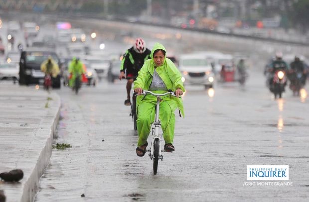
Bikers endure the rain with improvised raincoats and colorful rain gears as they negotiate the stretch of Commonwealth Avenue in Quezon City. (File photo from INQUIRER/GRIG C. MONTEGRANDE)
MANILA, Philippines — Moderate to heavy rain showers with lightning and strong winds may be expected over Nueva Ecija, Bulacan and Quezon until noontime on Friday, the state weather bureau said.
In a thunderstorm advisory from the Philippine Atmospheric, Geophysical and Astronomical Services Administration (Pagasa), it urged residents of these provinces to take precautionary measures against flash floods and landslides.
READ: Heat indices in Metro Mla, 24 other areas may hit ‘danger’ level on May 10
Pagasa also released a thunderstorm watch over the Greater Metro Manila Area.
“Thunderstorm is more likely to develop over Greater Metro Manila Area (Metro Manila, Bulacan, Rizal, Laguna and Cavite) within 12 hours,” the thunderstorm watch issued at 10 a.m. read.
Article continues after this advertisementREAD: Phivolcs observes 4 minor steam-driven explosions over Taal volcano
Article continues after this advertisementAccording to Pagasa, a thunderstorm advisory means that rains may be expected within two hours of its issuance.
A thunderstorm watch, on the other hand, is for rains that may fall within the next 12 hours.