You can help DENR make an accurate PH mangrove map
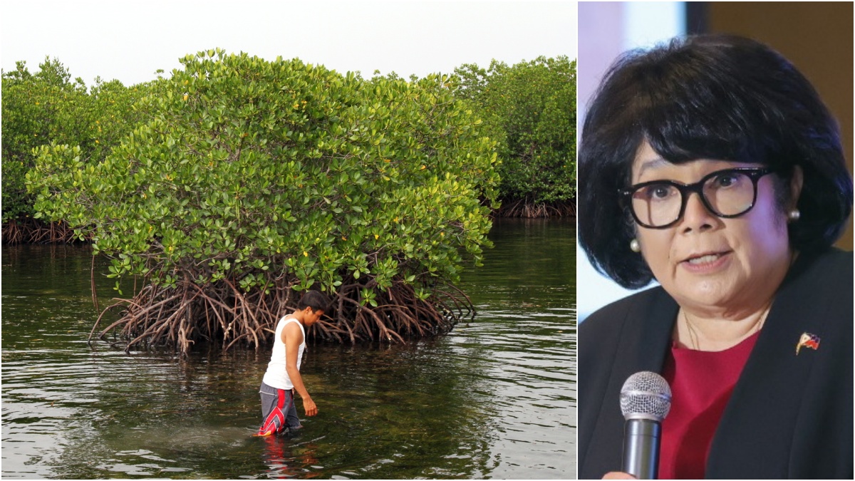
‘MEASURE WHAT WE TREASURE’ The Department of Environment and Natural Resources (DENR) asks private citizens and groups to help “validate” the satellite data so far gathered for the National Mangrove Map, in line with the directive of Environment Secretary Maria Antonia Yulo Loyzaga (right) to keep conservation efforts science-based. NIÑO JESUS ORBETA/DENR PHOTO
MANILA, Philippines — After all the application of high technology, nothing still beats ground-level, old fashioned field work.
Especially for making an accurate assessment of one of the country’s most important ecosystems: mangrove forests.
The Department of Environment and Natural Resources (DENR) is calling on the public to check out local shorelines or wetlands and help the agency map mangrove growth areas across the archipelago.
READ: Mangroves save lives: Greenbelt zones pushed in PH
By taking photos of the mangrove thickets they can find and sending the image through an app, they can help “validate” satellite data that the DENR has so far gathered for the National Mangrove Map.
Article continues after this advertisementBased on input collected as of 2023, the map was developed by the DENR and the Philippine Space Agency to guide policy decisions geared toward the restoration and protection of mangrove ecosystems, which are valued not just as terrestrial and marine habitats but also as carbon sinks and livelihood resource.
Article continues after this advertisement“Amid the climate emergency and destruction of mangroves, everyone has the ability to make a difference by tracking and protecting our natural resources,” Environment Secretary Maria Antonia Yulo Loyzaga said in a DENR statement on Monday.
READ: Mind your mangroves: Green groups cite wasteful project
Target sites
Loyzaga stressed the need for a science-based approach to conservation efforts, starting with accurate ways to “measure what we treasure.”
Private citizens and organizations are encouraged to “verify the presence or absence of mangroves’’ in their locality using a mobile phone or drone camera and send the images to the DENR via the ODK Collect app, the DENR said.
The app comes with an e-manual on how to go about the data collection and confirmation, with instructions on the proper distancing of validation points and flight plans if drones will be used, among others.
With over 600 sites and 30,000 target points across the country, the DENR said it hoped to finalize the field validation of the National Mangrove Map by June this year.
So far, however, less than 5 percent of the target submissions have been reached, it added. —RUSSEL LORETO