MANILA, Philippines — The cloud cluster observed in the central Pacific Ocean has developed into a low-pressure area (LPA), the state weather service said Thursday.
According to the Philippine Atmospheric, Geophysical and Astronomical Services Administration (Pagasa), the LPA was last seen 1,865 kilometers east of southeastern Mindanao, outside the Philippine area of responsibility (PAR).
In a morning weather report, Pagasa specialist Patrick del Mundo noted that the LPA is expected to enter PAR on Saturday and may approach closer to land on Sunday, bringing rain to the eastern parts of Visayas and Mindanao in the process.
Del Mundo, however, said the LPA is unlikely to intensify into a cyclone within the next two days.
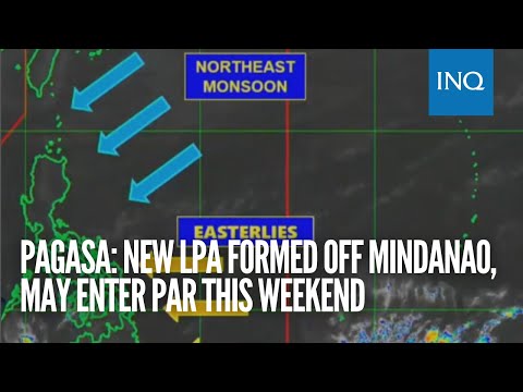
Meanwhile, the northeast monsoon, or amihan, and the easterlies continue to affect significant portions of the country.
Easterlies are warm winds blowing from the Pacific Ocean, while the northeast monsoon is a cool breeze coming from the northeast.
Cagayan Valley, Aurora, Quezon, Camarines Norte, Camarines Sur, and Catanduanes may experience cloudy skies with light rains due to the northeast monsoon, according to the state weather agency’s forecast.
“In the remaining parts of Luzon, including Metro Manila, fair weather conditions are expected with a possibility of isolated light rains due to the effects of the northeast monsoon,”del Mundo said in Filipino.
Del Mundo likewise advised residents in Visayas and Mindanao to brace for possible severe thunderstorm due to the effects of the easterlies and localized thunderstorms which may trigger flash floods and landslides.
No gale warning was issued for the country’s seaboards on Thursday.
RELATED STORIES
Cloud cluster spotted outside PAR may turn into LPA in 24 hours – Pagasa
Pagasa: Generally fair weather likely despite chance of isolated rains
