
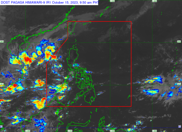
Weather satellite image from Pagasa
MANILA, Philippines — Palawan may experience overcast skies with scattered rain showers and thunderstorms on Sunday due to the trough or extension of the low pressure area (LPA) outside of the Philippine area of responsibility (PAR).
The Philippine Atmospheric, Geophysical, and Astronomical Services Administration (Pagasa) also said that Batanes, Cagayan, Isabela, Apayao, and Abra may see cloudy skies with isolated light rains due to the northeasterly surface winds.
Pagasa weather specialist Daniel James Villamil said the LPA affecting Palawan’s weather left PAR on Saturday.

“Nasa labas na ito [LPA] ng ating PAR ngunit makararanas pa rin tayo ng mga pag-ulan sa bahagi ng Palawan within the next 24 hours [dulot ng trough],” he said in a weather forecast.
(It [LPA] is already outside of our PAR but we will still experience rain in Palawan within the next 24 hours [caused by the trough].)
READ: Pagasa declares end of ‘habagat’ season
As for Metro Manila and the rest of the country, Pagasa said the northeasterly surface wind flow and localized thunderstorms may bring rain showers in these areas on Sunday although a generally fair weather may prevail.
“Sa kasalukuyan, wala pa naman tayong binabantayan na LPA o sama ng panahon na maaaring maging bagyo na posibleng maka-apekto sa ating bansa sa mga susunod na araw,” Villamil said.
(Currently, we do not have any LPA or bad weather that could become a typhoon that could potentially affect our country in the next few days.)
Pagasa likewise did not raise any gale warning over any part of the country’s seaboards.