Mapping authority eyes to finish PH EEZ map, archipelagic waters by 2028
MANILA, Philippines — An official of the National Mapping and Resource Information Authority (Namria) on Wednesday said they are aiming to finish mapping the entire exclusive economic zone (EEZ) and the archipelagic waters of the Philippines by 2028.
Namria Administrator Peter Tiangco disclosed this during the Senate committee on finance’s deliberations on the proposed 2024 budget of the Department of Environment and Natural Resources (DENR) and its attached agencies.
Senator Francis Tolentino first asked Namria on why the mapping of the country’s EEZ and archipelagic waters is taking too long.
To this, Tiangco answered that the problem lies within resources, but he also noted they are “doing their best” and if given adequate funding, they may finish it by 2028.
READ: ‘Uncooperative’ DFA, Namria execs irk Tolentino at maritime zones hearing
Namria’s proposed allocation for 2024 amounts to P1.59 billion.
“It depends on the resources that we have,” said Tiangco, adding that these resources include funding, clothing assets, and survey vessels.
READ: PH has 400 more islands, says mapping agency—report
The Namria official then disclosed that out of the 586,485.07 square kilometers archipelagic waters, they have so far accomplished plotting 303,288 square kilometers, leaving a balance of 283,197 square kilometers.
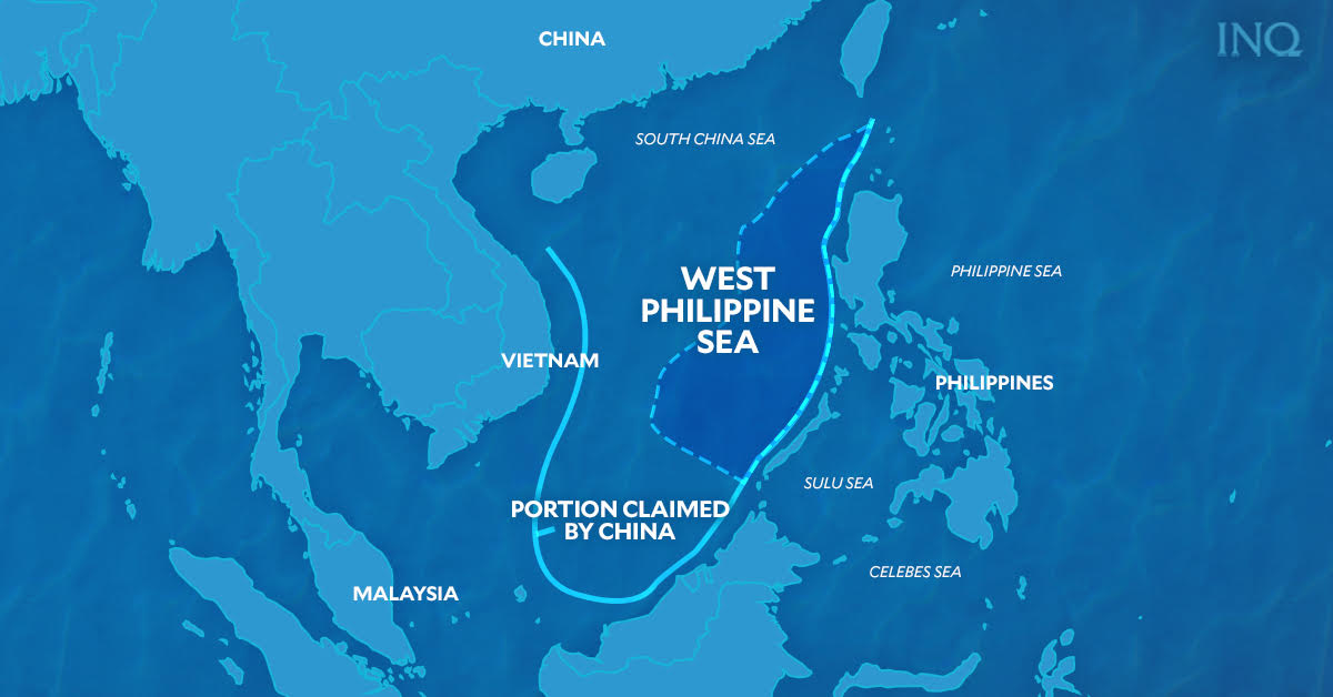
Meanwhile, citing the fatal ramming incident 85 nautical miles northwest off Bajo de Masinloc, which killed three Filipino fishermen, Tolentino said there is a need to demarcate the nation’s territory.
“This is very important because it comprises almost 75 percent of our geopolitical problem,” the senator stressed.
“May the three fishermen rest in peace. May [Namria] be part of the collaborative efforts to protect our national interest,” he added.
