Tropical Storm Jenny further intensifies, may become typhoon

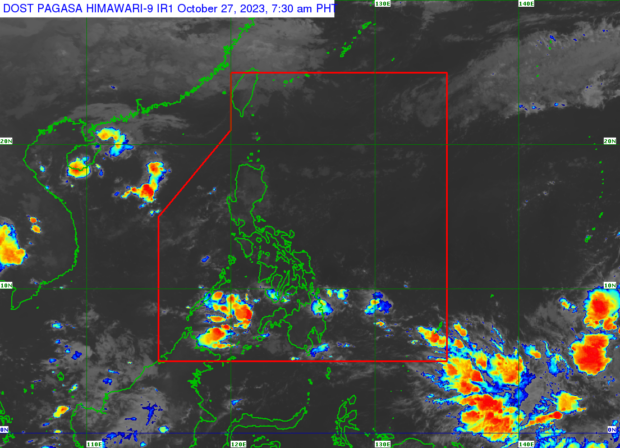
Weather satellite image from Pagasa
MANILA, Philippines — Tropical Storm Jenny (international name: Koinu) strengthened further while over the sea on the east of Central Luzon, the state weather bureau said Sunday. It is likely to develop into a typhoon by Monday.
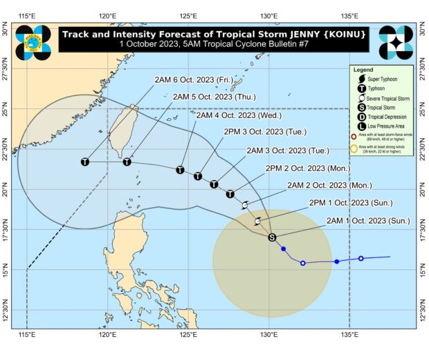
Based on its 5 a.m. weather bulletin, the Philippine Atmospheric, Geophysical and Astronomical Services Administration (Pagasa) said Jenny’s eye was last seen 835 kilometers east of Central Luzon packing maximum sustained winds of 85 kilometers per hour (kph) and gustiness of up to 105 kph as it moved northwestward at 20 kph.
With the anticipated intensification of Jenny, wind signals may be raised over portions of the country by Sunday night or early Monday, according to Pagasa.

Track of Tropical Storm Jenny (international name: Koinu), which is forecast to further strengthen into a typhoon. Photo from Pagasa
READ: Pagasa warns of floods in parts of PH due to rains, thunderstorms
Article continues after this advertisementBy the middle or late next week, the state weather service projects Jenny dump rain over extreme northern Luzon. It is likewise predicted to enhance the southwest monsoon, locally known as habagat, which will bring occasional to extended rains over Palawan and Occidental Mindoro in the next three days.
Article continues after this advertisement“Jenny is forecast to intensify throughout the forecast period steadily and may become a severe tropical storm today. Furthermore, this tropical cyclone may reach typhoon category tomorrow evening or on Tuesday,” Pagasa said Sunday.
“[It] will pass over the Bashi Channel between Batanes and the southern portion of Taiwan between Wednesday evening and Thursday morning. However, a landfall or close approach scenario over extreme northern Luzon is still not ruled out since these scenarios are within the forecast confidence cone,” it added.
READ: Pagasa: Tropical Storm Jenny slightly slows down