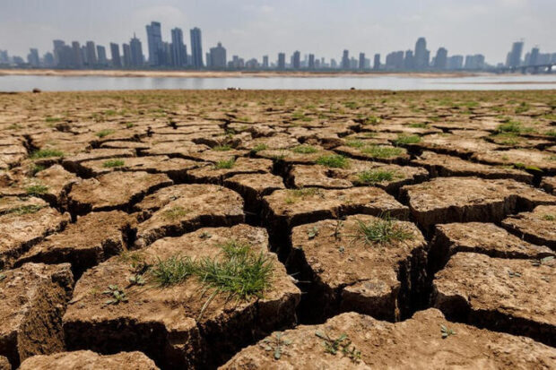
REUTERS FILE PHOTO
CANBERRA — Australia’s weather bureau said on Tuesday that El Niño indicators had strengthened and the weather event would likely develop between September and November, bringing hotter, drier conditions to Australia.
El Nino can provoke extreme weather phenomena from wildfires to tropical cyclones and prolonged droughts.
The World Meteorological Organization said in July the weather pattern had emerged in the tropical Pacific for the first time in seven years, but the Australian Bureau of Meteorology has not yet matched that call.
The bureau said sea surface temperatures in the tropical Pacific had risen further and the 90-day Southern Oscillation Index, an indicator used to assess El Nino development, now exceeded El Niño thresholds.
It noted that El Niñoo could last for “an extended period” and typically leads to reduced spring rainfall for eastern Australia.
Lower rainfall is a threat to Australian crops, with dry weather already causing the government this month to downgrade its forecast for winter wheat production by 800,000 metric tons.
The weather bureau also said a positive Indian Ocean Dipole – the Indian Ocean’s equivalent of the Pacific Ocean-based El Niño – had developed and would likely remain through the southern hemisphere spring. That could decrease spring rainfall for central and south-east Australia and increase the drying influence of El Niño, it added.
RELATED STORIES