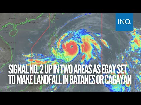
Signal No. 2 up in two areas as Typhoon Egay set to make landfall in Batanes or Cagayan

UPDATED MANILA, Philippines — State meteorologists on Monday hoisted Tropical Cyclone Wind Signal (TCWS) No. 2 on two areas while 22 areas are under Wind Signal No. 1 due to Typhoon Egay (international name: Doksuri) as it forecasts to make landfall either in Batanes or Cagayan.

According to the Philippine Atmospheric, Geophysical and Astronomical Services Administration (Pagasa)’s 5:00 a.m. bulletin, the following areas are under TCWS No. 2:
- The southeastern portion of Isabela
- Northeastern portion of Catanduanes (Pandan, Bagamanoc, Panganiban, Viga, Gigmoto)
Meanwhile, the areas under TCWS No. 1 are as follows:
According to the Philippine Atmospheric, Geophysical and Astronomical Services Administration (Pagasa)’s 5:00 a.m. bulletin, the following areas are under TCWS No. 1:
- Batanes
- Cagayan including Babuyan Islands
- the rest of Isabela
- Quirino
- Nueva Vizcaya
- Apayao
- Kalinga
- Abra
- Mountain Province
- Ifugao
- Benguet
- Ilocos Norte
- Ilocos Sur
- La Union
- the northern portion of Pangasinan
- the northern and southeastern portions of Quezon including Polilio Islands
- Camarines Norte
- Camarines Sur
- the rest of Catanduanes
- Albay
- Sorsogon
- Masbate
Egay is moving westward at 15 kilometers per hour (kph), packing maximum sustained winds of 140 kph near the center with gustiness of up to 170 kph.
Pagasa said that after its westward movement, Egay is forecast to turn northwestward and head closer to the landmass of Northern Luzon towards the Luzon Strait.
“This typhoon is forecast to cross the Luzon Strait and make landfall or pass very close to the Babuyan Islands-Batanes area between tomorrow late evening and Wednesday afternoon,” Pagasa said.
“It must be emphasized that further shift in the track forecast closer to Luzon remains a possibility due to the persistence of the ridge of high pressure north of the typhoon,” it also said. “As such, a landfall over the northeastern portion of mainland Cagayan is not ruled out.”
Egay is forecast to further intensifying and reach super typhoon category by Tuesday or on early Wednesday.

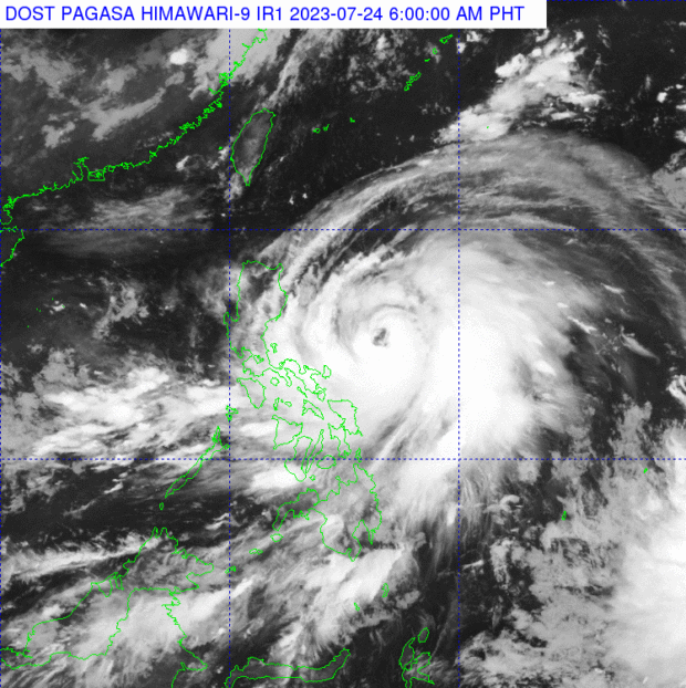
Typhoon Egay is moving westward at 15 kilometers per hour (kph), packing maximum sustained winds of 140 kph near the center with gustiness of up to 170 kph. (Satellite image by Pagasa)
However, should the track forecast shift closer to the landmass of Luzon, the typhoon may peak at an intensity just below super typhoon threshold, according to Pagasa.
“Nevertheless, Egay is forecast to become a very strong typhoon,” Pagasa said.
The state weather bureau said the typhoon may exit the Philippine area of responsibility on Thursday.