Pagasa: Egay may develop into typhoon in 24 hours, super typhoon by Tuesday

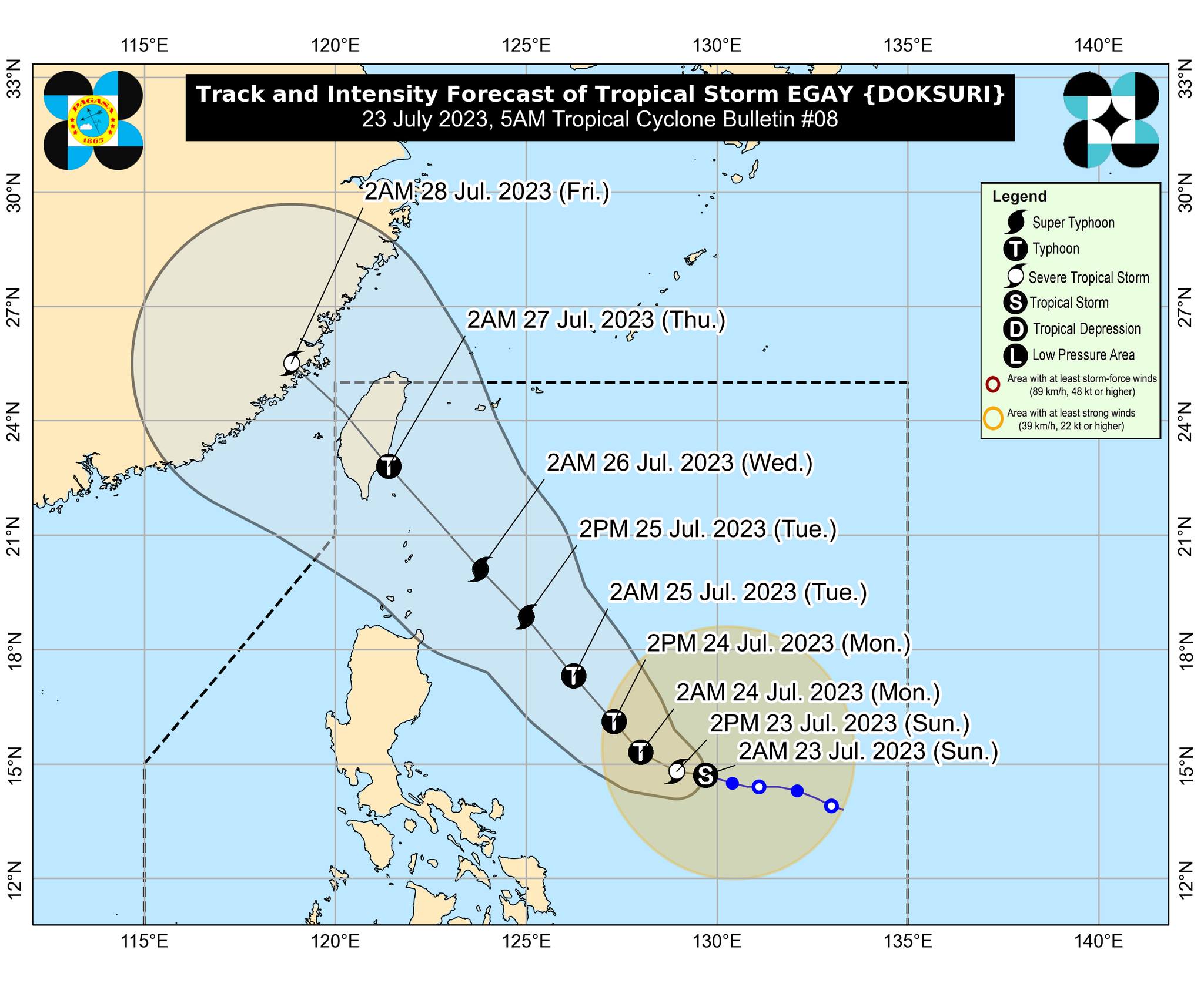
Tropical storm Egay last seen at 705 kilometers east of Daet, Camarines Norte, moving 10 kilometers per hour and carrying maximum sustained winds of 85 kph and gusts of up to 105 kph. (Photo courtesy of Pagasa)
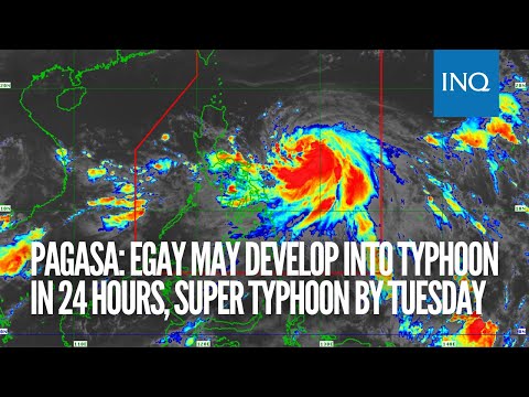
MANILA, Philippines — Tropical storm Egay (international name: Doksuri) is forecast to develop into a typhoon within 24 hours and super typhoon on Tuesday, the Philippine Atmospheric, Geophysical and Astronomical Services Administration (Pagasa) said on Sunday.

Based on Pagasa’s 5 a.m. weather bulletin, Egay was last monitored 705 kilometers (km) east of Daet, Camarines Norte, moving 10 kilometers per hour (kph) and carrying maximum sustained winds of 85 kph and gusts of up to 105 kph.
“Ngayon pa lang itong trough o extension ng nasabing bagyo ay nagdudulot na ng mga pag-ulan sa silangang bahagi ng Southern Luzon sa Visayas at Northeastern Mindanao,” weather specialist Daniel James Villamil said in a morning press briefing.
(The typhoon’s trough or extension is already causing rains in the eastern part of Southern Luzon in the Visayas and Northeastern Mindanao.)
“Samantalang itong habagat (southwest monsoon) ay nagdudulot ng mga pag-ulan sa kanlurang bahagi ng ating bansa sa malaking bahagi ng Mimaropa (Mindoro Oriental & Occidental, Marinduque, Romblon, and Palawan) at nalalabing bahagi ng Visayas,” he added.
(This southwest monsoon brings rains to the western part of our country in the large part of Mimaropa and the rest of the Visayas.)
Villamil said that Egay is forecast to slowly accelerate west-northwestward or westward until early morning Monday.
He added that it may move close or make landfall within the vicinity of extreme Northern Luzon by Wednesday (July 26) and landfall over the east coast of Taiwan on Thursday morning (July 27).
Due to the effects of Egay, Pagasa also raised gale warnings as it expects turbulent sea conditions with waves as high as 2.8 to 4.5 meters on the coasts of the following areas:
- Northern coast of Camarines Sur
- North and eastern coasts of Catanduanes
- Eastern coast of Albay
- Eastern coast of Sorsogon
- Northern and east coasts of Northern Samar
- Eastern Samar
- Eastern coast of Surigao del Norte, including Siargao and Bucas Grande islands
- Dinagat Islands