
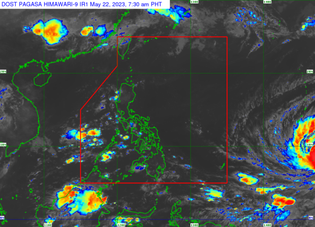
Weather satellite image from Pagasa’s website
MANILA, Philippines — Typhoon Mawar may strengthen into a super typhoon, according to state meteorologists, who also predicted that the weather disturbance might enter the Philippine area of responsibility (PAR) around Friday.
In a public report on Monday morning, the Philippine Atmospheric, Geophysical and Astronomical Services Administration (Pagasa) said Mawar was located 2,330 kilometers east of Mindanao as of 3:00 a.m.
“Itong binabantayan natin na si Bagyong Mawar, maaari itong maging isang super typhoon lalo na at nasa karagatan ito,” said Pagasa weather specialist Obet Badrina.
(Since Typhoon Mawar is out at sea, it can potentially strengthen into a super typhoon.)
READ: Tropical Storm Mawar remains outside PAR but expected to intensify
Badrina also said that Mawar is moving northwestward and may cause a rainy weekend.
“Inaasahan na ito ay kikilos pa-hilagang-kanluran at possibile itong pumasok ng PAR bandang araw ng Biyernes,” Badrina said.
(It is expected to move northwesterly and possibly enter PAR around Friday.)
READ: Tropical Storm Mawar nears PH
“Posible na inaasahan natin na maging maulan ngayong weekend particularly po sa western sections ng Luzon, Visayas, at ng Mindanao,” he added.
(We may expect it to rain this weekend, particularly in the western sections of Luzon, Visayas, and Mindanao.)
According to Badrina, the typhoon will be named “Betty” once it enters the PAR. It would be the second storm to enter the PAR this year and the first for this month. Betty was also used for a typhoon that hit the Philippines in 2015 and 2019. But Pagasa may reuse one of four sets of typhoon names on a four-year rotation.
RELATED STORY
Approaching LPA now a tropical depression, may enter PAR next week