


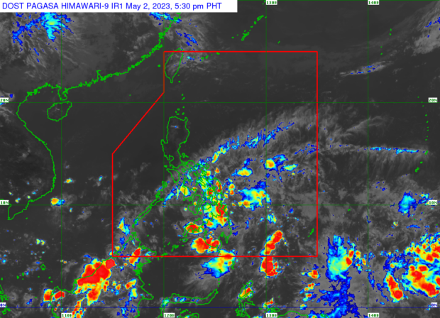
MANILA, Philippines — A low-pressure area (LPA) inside the Philippine area of responsibility has a slim chance of intensifying into a tropical cyclone within the next 24 hours, said state meteorologists on Tuesday.
“Sa ngayon po, mababa pa rin yung tsansa na ito ay isang magiging ganap na bagyo sa susunod na 24 oras,” said Philippine Atmospheric, Geophysical and Astronomical Services Administration (Pagasa) weather forecaster Rhea Torres.
(The LPA has a low chance of developing into a tropical cyclone in the next 24 hours.)
The LPA was spotted Tuesday afternoon some 210 kilometers east-southeast of Hinatuan, Surigao del Sur.
Pagasa, however, said that the LPA, which is embedded into an intertropical convergence zone (ITCZ), will trigger rainfall in Romblon, the Bicol region, Visayas and Mindanao.
The state weather bureau warned of possible flash floods and landslides due to the rain caused by the two weather systems.
Meanwhile, the easterlies will bring partly cloudy skies over Metro Manila and the rest of the country, said Pagasa.
Forecast temperature range in key cities / areas on Wednesday
Luzon
- Metro Manila: 24 to 34 degrees Celsius
- Baguio City: 18 to 25 degrees Celsius
- Laoag City: 24 to 34 degrees Celsius
- Tuguegarao: 24 to 35 degrees Celsius
- Legazpi City: 27 to 30 degrees Celsius
- Puerto Princesa City: 26 to 30 degrees Celsius
- Tagaytay: 22 to 31 degrees Celsius
- Kalayaan Islands: 26 to 31 degrees Celsius
Visayas
- Iloilo City: 27 to 30 degrees Celsius
- Cebu: 25 to 32 degrees Celsius
- Tacloban City: 24 to 29 degrees Celsius
Mindanao
- Cagayan De Oro City: 25 to 30 degrees Celsius
- Zamboanga City: 25 to 32 degrees Celsius
- Davao City: 25 to 32 degrees Celsius