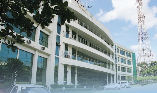
The Pagasa building (Photo from PAGASA)
MANILA, Philippines — Around 10 to 14 tropical cyclones are expected to enter the Philippine Area of Responsibility (PAR) and affect the country from May until October this year, the state weather bureau said on Wednesday.
Although the typhoon season starts in July, more tropical cyclones may enter PAR as early as May, according to senior weather specialist Rusy Abastillas of the Philippine Atmospheric, Geophysical and Astronomical Services Administration (Pagasa).
“On average, we expect 10 to 14 tropical cyclones from May to October 2023,” Abastillas said in an online climate forum.
Based on her report, two to four tropical cyclones may enter PAR in the months of May and June, two to four in July, and six to nine in August, September, and October.
Aside from tropical cyclones, Abastillas said other weather systems that may affect the country for the next six months would the ridge of the high-pressure area (HPA), localized thunderstorms, and easterlies.
“The prevailing weather system is the ridge of the high-pressure area — which is why we are having the hot weather and this could continue until May — and the prevailing easterlies that trigger severe localized thunderstorms, she said in a mix of Filipino and English.
By June, Abastillas said that the country would undergo a transition period and may experience the effects of the southwest monsoon or “habagat” and the onset of the rainy season before going into typhoon season in July.
On April 11, Pagasa said that a low-pressure area spotted east of Catanduanes had developed into a tropical cyclone and was given the name Amang. It is the first cyclone to form inside PAR so far this year.