


Source: DOST / Pagasa
MANILA, Philippines — Severe Tropical Storm Paeng left the Philippine area of responsibility (PAR) on Monday, 12:10 p.m., the state weather agency reported.
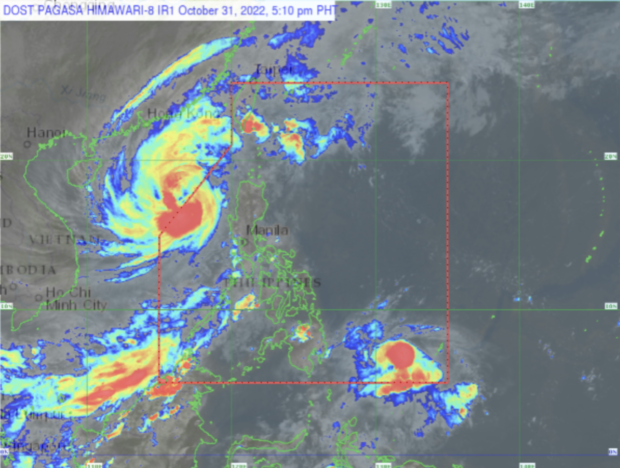
Based on the 5 p.m. bulletin of the Philippine Atmospheric, Geophysical and Astronomical Services Administration (Pagasa), Paeng intensified further as it whips over the West Philippine Sea.
It was last spotted at 400 kilometers west of Sinait, Ilocos Sur and packs maximum sustained winds of 110 kilometers per hour (kph) near the center and gustiness of up to 135 kph.
While Paeng is outside PAR, Tropical Cyclone Wind Signal No. 1 is still raised in several areas in Luzon:
- Abra
- western portion of Benguet (Tuba, Baguio City, Kapangan, Atok, Kibungan, La Trinidad, Sablan, Tublay, Bakun)
- southern portion of Ilocos Norte (Badoc, Pinili, Banna, Nueva Era, City of Batac, Paoay, Marcos, Currimao, Dingras, Solsona, Sarrat, San Nicolas, Laoag City, Piddig)
- Ilocos Sur
- La Union
- central and western portions of Pangasinan (Basista, Lingayen, Villasis, City of Alaminos, Anda, Malasiqui, San Fabian, Urbiztondo, Bautista, Mangaldan, Mapandan, Burgos, Dagupan City, Binalonan, Bolinao, Aguilar, Alcala, Sual, Labrador, Bani, Santo Tomas, Pozorrubio, City of Urdaneta, Laoac, Mangatarem, Mabini, San Carlos City, Manaoag, Binmaley, San Jacinto, Bugallon, Bayambang, Infanta, Agno, Calasiao, Santa Barbara, Dasol, Sison)
- central and western portions of Tarlac (San Jose, Mayantoc, Capas, San Clemente, Santa Ignacia, Camiling, Moncada, Paniqui, Gerona, City of Tarlac, Bamban)
- northern and central portions Zambales (Botolan, Iba, Candelaria, Cabangan, Palauig, Santa Cruz, Masinloc, San Felipe)
Paeng may cause moderate to at times heavy rains over Batanes, Zambales, and Bataan.
Ilocos Region, Cordillera Administrative Region, Cavite, Batangas, the southern portion of Quezon, Western Visayas, Babuyan Islands, Mimaropa (Mindoro, Marinduque, Romblon, Palawan), and the rest of Central Luzon may experience light to moderate with at times heavy rains.
Pagasa warned that flooding and rain-induced landslides are possible.

RELATED STORY:
Tragic Paeng combination: Nonstop rains, deforestation