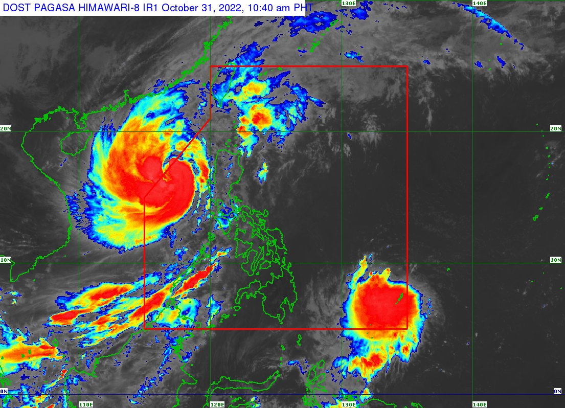
MANILA, Philippines – Fourteen areas in the country are under Signal No. 1 as Typhoon Paeng (international name: Nalgae) intensified again into a severe tropical storm while moving over the West Philippine Sea, said the state weather bureau.
In its 11 a.m. weather update, the Philippine Atmospheric, Geophysical and Astronomical Services Administration (Pagasa) said Tropical Cyclone Wind Signal No. 1 remains hoisted over the following areas:
- Southern part of Ilocos Norte
- Ilocos Sur
- La Union
- Pangasinan
- Western and central portions of Pampanga
- Abra
- Benguet
- Western portion of Mountain Province
- Western portion of Ifugao
- Tarlac
- Western portion of Nueva Vizcaya
- Western portion of Nueva Ecija
- Zambales
- Central and southern portions of Bataan
Paeng was last sighted 375 kilometers west of Dagupan City, Pangasinan, with maximum sustained winds of 95 kilometers per hour (kph) near the center and gustiness of up to 115 kph, Pagasa said
It also noted that Paeng would trigger moderate to heavy rains over Batanes, Zambales, and Bataan.
Light to moderate rainfall, on the other hand, is expected in Ilocos Region, Cordillera Administrative Region, Cavite, Batangas, Laguna, the southern portion of Quezon, Western Visayas, Babuyan Islands, Mimaropa (Marinduque, Occidental Mindoro, Oriental Mindoro, Palawan, Romblon), and the rest of Central Luzon.
“Except in areas with significant antecedent rainfall or those still experiencing heavy rainfall, flooding and rain-induced landslides are likely to slowly subside,” the state weather service said.
A marine gale warning is still raised over most seaboards of Luzon due to Paeng and the surge of the northeast monsoon.
Paeng may exit the Philippine area of responsibility on Monday afternoon or evening, but it is seen to further intensify within the next 12 to 24 hours, according to Pagasa.
RELATED STORIES
Pagasa: Paeng-induced rains still expected, new tropical depression enters PAR
LIVE UPDATES: Tropical Storm Paen

