
MANILA, Philippines — Severe Tropical Storm Paeng made landfall in Camarines Sur and was last spotted over the vicinity of Siruma town, state meteorologists said on their Friday 5:00 a.m. update.
Reports from the Philippine Atmospheric, Geophysical and Astronomical Services Administration (Pagasa) showed that Paeng crossed the southern tip of Catanduanes before moving near Camarines Sur.
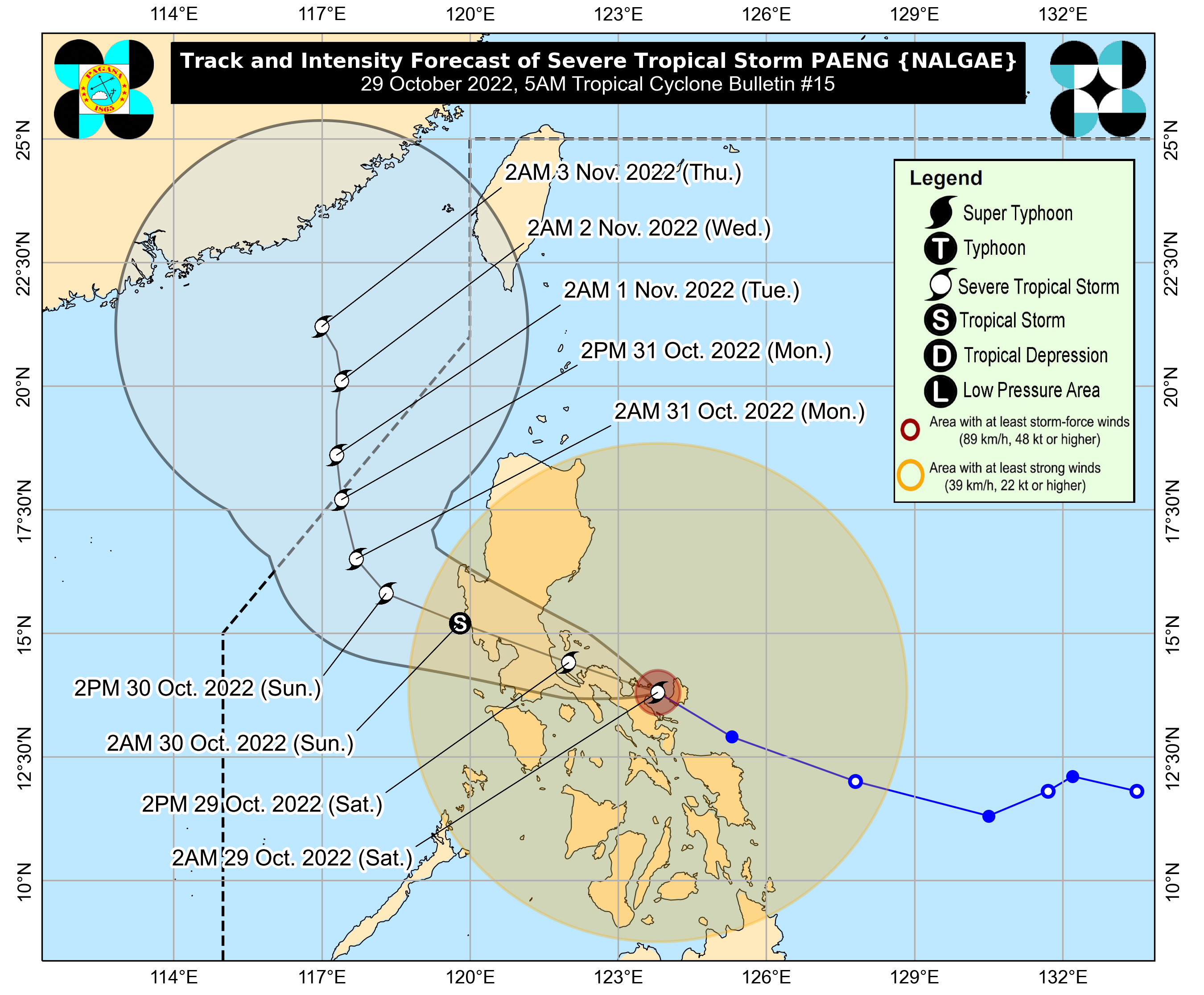
It is expected to move over the Bicol Region peninsula before hitting Calabarzon, Metro Manila, and Central Luzon around Saturday afternoon.
As of now, Paeng still packs maximum sustained winds of 95 kilometers per hour (kph) and gustiness of up to 130 kph.
Pagasa’s update as of 2:00 a.m. showed that Paeng was packing maximum sustained winds of 95 kilometers per hour (kph) and gustiness of up to 160 kph. However, the state weather bureau expects the cyclone to weaken before moving over Metro Manila, due to interaction with the terrain.
It is still moving west-northwest at a speed of 30 kph.
Tropical Cyclone Wind Signal No. 3, which means storm-force winds may be felt, is still raised over the following areas:
- Bicol Region: Camarines Norte, the northern portion of Camarines Sur (Ragay, Lupi, Sipocot, Libmanan, Cabusao, Magarao, Calabanga, Tinambac, Siruma, Goa, Tigaon, San Jose, Lagonoy, Garchitorena, Presentacion, Caramoan, Saglay, Ocampo, Pili, Bombon, Naga City, Del Gallego, Canaman, Camaligan, Milaor, Gainza, Pamplona)
- Northern and eastern portions of Quezon (Tagkawayan, Guinayangan, Calauag, Quezon, Lopez, Gumaca, Plaridel, Atimonan, Mauban, Perez, Alabat, Real, Infanta, General Nakar, Sampaloc) including Pollilo Islands
Signal No. 2 meanwhile was hoisted over these areas:
Luzon
- Bicol Region: Albay, Sorsogon, the northern and western portions of Masbate (City of Masbate, Mobo, Aroroy, Baleno, Mandaon, Milagros, Uson, Balud, Dimasalang) including Ticao and Burias Islands, the rest of Camarines Sur
- Calabarzon/ Mimaropa: Marinduque, the rest of Quezon, Laguna, Batangas, Cavite, Rizal, the northern and central portions of Oriental Mindoro (Puerto Galera, San Teodoro, Baco, City of Calapan, Naujan, Victoria, Pola, Socorro, Pinamalayan, Gloria, Bansud, Bongabong, Roxas), the northern and central portions of Occidental Mindoro (Sablayan, Santa Cruz, Mamburao, Abra de Ilog, Paluan) including Lubang Islands, and Romblon
- Metro Manila
- Central Luzon: Bulacan, Tarlac, Pampanga, Bataan, Zambales, the southern portion of Aurora (San Luis, Baler, Dingalan, Maria Aurora), the central and southern portions of Nueva Ecija (City of Gapan, San Leonardo, Santo Domingo, Rizal, San Isidro, Laur, Zaragoza, Llanera, Aliaga, Palayan City, Gabaldon, General Mamerto Natividad, Cabanatuan City, Quezon, San Antonio, General Tinio, Santa Rosa, Pe, Jaen, Licab, Bongabon, Cabiao, Talavera, Science City of Munoz, Talugtug, Cuyapo, Guimba, Nampicuan, San Jose City)
- Ilocos Region: the southern portion of Pangasinan (Bautista, Bayambang, Mangatarem, Urbiztondo, Aguilar, Infanta)
Visayas
- Western Visayas: The western portion of Northern Samar (Capul, San Vicente, San Antonio, Allen, Lavezares, Biri, Victoria, Rosario, San Isidro, San Jose)
The following areas are under Signal No. 1:
Luzon
- Cagayan Valley: Isabela, Nueva Vizcaya, Quirino
- Cordillera: Kalinga, Ifugao, Mountain Province, Benguet
- Ilocos Region: Ilocos Sur, La Union, the rest of Pangasinan
- Central Luzon: the rest of Aurora, the rest of Nueva Ecija
- Calabarzon/ Mimaropa/ Bicol Region: the rest of Oriental Mindoro, the rest of Occidental Mindoro, the northern portion of Palawan (El Nido, Taytay, Dumaran, Araceli) including Calamian and Cuyo Islands, and the rest of Masbate
Visayas
- Eastern Visayas: the rest of Northern Samar, Samar, Eastern Samar, Biliran, Leyte, Southern Leyte, the rest of Leyte
- Central Visayas: Cebu including Bantayan and Camotes Islands, Bohol, Negros Oriental
- Western Visayas: Negros Occidental, Guimaras, Aklan, Antique, Capiz, Iloilo, Siquijor
Mindanao
- Dinagat Islands, Surigao del Norte including Siargao and Bucas Grande Islands
- Camiguin
Pagasa’s latest forecast track also showed that Paeng may no longer emerge over Manila Bay after hitting Metro Manila between Saturday night and Sunday morning. Instead, it would move over Central Luzon and emerge over the Bataan-Zambales area on Sunday morning as a tropical storm.
However, upon hitting the warm waters of the West Philippine Sea, Paeng would intensify. It also would no longer recurve back to the country according to latest track expectations, as it would continue moving towards southern China.
READ: Paeng now a Severe Tropical Storm; Signal No. 3 up in several Bicol towns