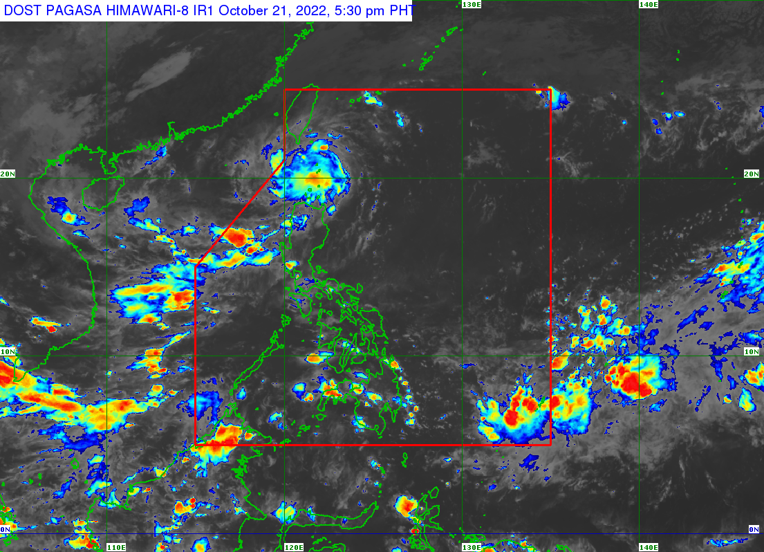
MANILA, Philippines — Tropical Depression Obet maintained its strength as it moved closer to Batanes province on Friday afternoon, state meteorologists said.
Weather updates from the Philippine Atmospheric, Geophysical and Astronomical Services Administration (Pagasa) showed that Obet was last spotted 75 kilometers east of Basco, Batanes.
READ: LPA develops into Tropical Depression Obet
Obet is still packing maximum sustained winds of 55 kilometers per hour (kph) near the center and gustiness of up to 70 kph. It is still moving westward at 20kph.
The following areas are under Tropical Cyclone Wind Signal No.1
- Batanes
- Babuyan Islands
- Northeastern portion of mainland Cagayan (Santa Ana, Gonzaga)
Pagasa’s forecast track shows Obet likely crossing Batanes on Friday night, and then intensifying into a tropical storm category cyclone. By 2:00 a.m. on Saturday, Obet is projected to be 120 kilometers west of Basco.
Obet is expected to exit the Philippine area of responsibility (PAR) by Saturday afternoon.
Pagasa said that from Friday night to early Saturday morning, moderate to heavy rains, with at times intense rains are expected over Batanes and the Babuyan Islands. During this period, light to moderate rain, with at times heavy rain will be likely over the mainland Cagayan, Apayao, and Ilocos Norte.
“Under these conditions, flooding and rain-induced landslides are likely, especially in areas that are highly or very highly susceptible to these [hazards] as identified in hazard maps and in localities with significant antecedent rainfall,” Pagasa said.
“Considering these developments, the public and disaster risk reduction and management offices concerned are advised to take all necessary measures to protect life and property. Persons living in areas identified to be highly or very highly susceptible to these hazards are advised to follow evacuation and other instructions from local officials,” it added.
