
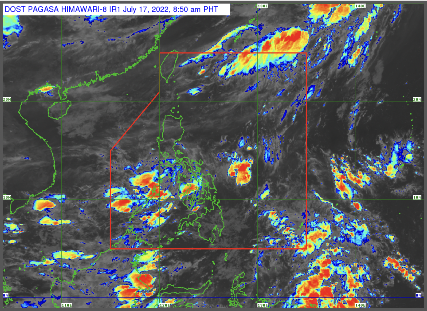
Pagasa weather satellite as of July 17, 2022, 8:50 a.m. Screengrab from Pagasa website
MANILA, Philippines —The southwest monsoon, locally known as habagat, will trigger rains over the western section of the Philippines on Sunday, the state weather bureau reported.
“For now po, umiiral naman ang habagat or southwest monsoon sa western sections ng ating bansa,” Philippine Atmospheric, Geophysical and Astronomical Services Administration (Pagasa) weather specialist Benison Estareja said in a public weather forecast.
(For now, the habagat or southwest monsoon prevails over the western sections of the country.)
The habagat will dump scattered rain showers and cause cloudy skies over Mimaropa (Mindoro, Marinduque, Romblon, Palawan), Western Visayas, and Zamboanga Peninsula.
Metro Manila and the rest of the country, meanwhile, will have partly cloudy to cloudy skies with isolated rain showers or thunderstorms brought by localized thunderstorms.
Estareja warned the public against potential flash floods or landslides due to moderate to at times heavy rains or during severe thunderstorms.
For the next three days, no gale warning is raised over the country’s coastal waters, said Estareja.
However, the weather specialist advised individuals venturing out at sea to take caution as waves may reach up to two meters.
“Kapag meron tayong mga thunderstorms, asahan ‘yung taas ng mga alon hanggang dalawang metro or halos isang palapag po ng gusali,” he noted.
(When we have thunderstorms, expect waves to reach up to two meters or almost one floor of a building.)
“Delikado pa rin ito sa ating mga kababayan na nangingisda,” Estareja cautioned.
(This is dangerous for our fisherfolk.)
READ: LPA west of Gen San to bring rain over Palawan, Visayas — Pagasa