Pagasa: TD Caloy ‘almost stationary’ over West Philippine Sea
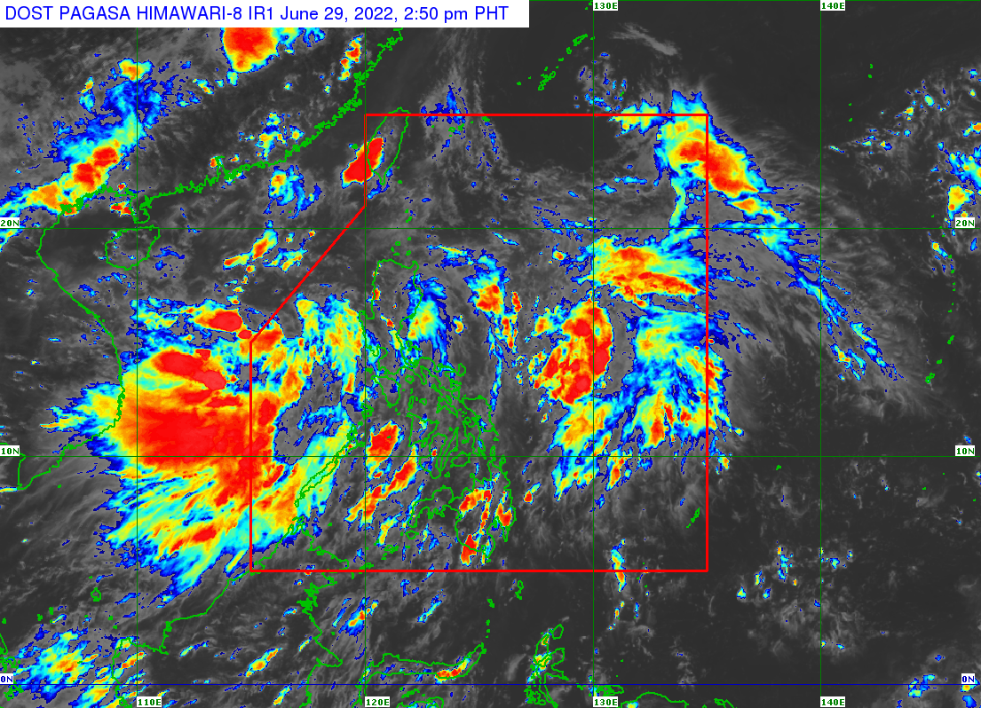
MANILA, Philippines — Tropical Depression Caloy is “almost stationary” as it generally moves west-northwestward over the West Philippine Sea on Wednesday, the state weather bureau said in its latest bulletin.
According to the 11 a.m. weather update from the Philippine Atmospheric, Geophysical and Astronomical Services (Pagasa), Caloy is expected to turn northwestward on Thursday through Friday morning.
Pagasa earlier noted that Caloy might exit the Philippine Area of Responsibility (PAR) within 24 hours, but it did not rule out the possibility of Caloy changing its course and further intensifying.
“Due to the present nature of its circulation, the track and intensity forecast for this tropical depression may still change in the succeeding bulletins,” the state weather service stressed.
It further explained, “The large overall circulation and disorganized structure of Caloy suggest a slow pace of intensification in the near term. It is forecast to remain a tropical depression in the next 48 hours, then slightly intensify and reach tropical storm category by Friday afternoon.”
Article continues after this advertisementOn Tuesday night, the low-pressure area west of Iba, Zambales, developed into Tropical Depression Caloy.
Article continues after this advertisementAlthough it is moving away from the PAR, Pagasa said Caloy would enhance the southwest monsoon or habagat, which will bring rain, especially in the western section of Luzon and the Visayas.
RELATED STORY:
Tropical Depression Caloy enhances habagat; rains expected across PH