Low pressure area forecast to exit PH
Source: DOST / Pagasa
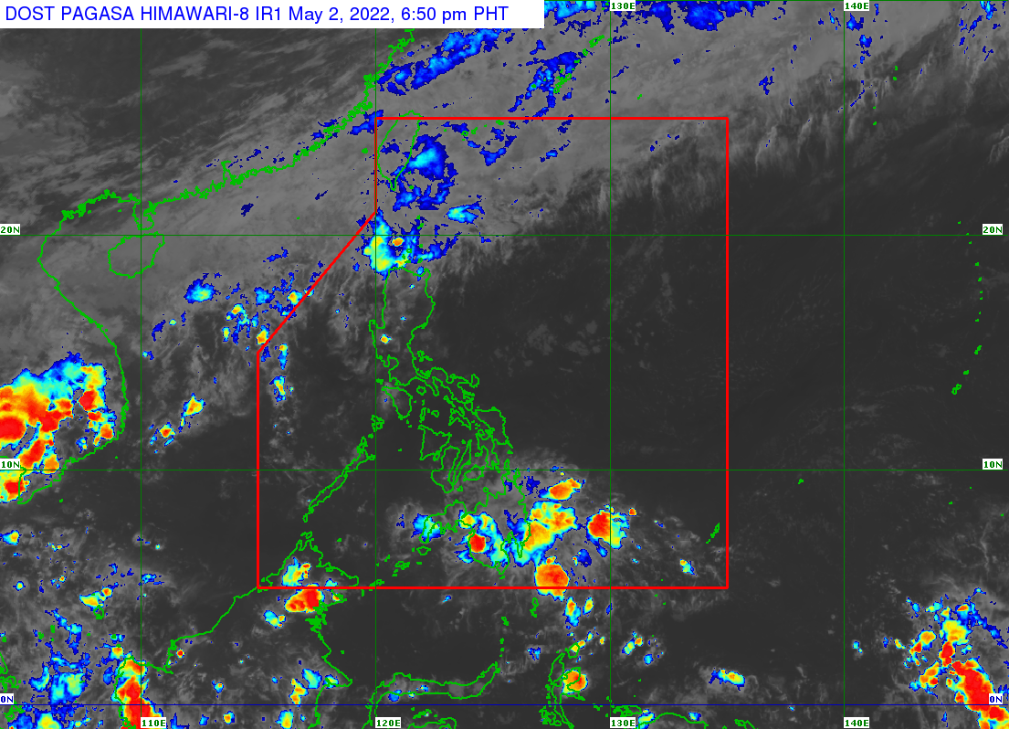
MANILA, Philippines — The low pressure area off General Santos City will continue to bring rain in Mindanao before leaving the Philippine area of responsibility on Tuesday or Wednesday, the weather bureau said.
The low pressure area, which was not likely to intensify into a tropical cyclone, was spotted 305 kilometers east of General Santos City as of Monday afternoon, the Philippine Atmospheric, Geophysical and Astronomical Services Administration (Pagasa) said.
Pagasa said the regions of Caraga, Davao, and Soccsksargen will have cloudy skies with scattered rain and thunderstorms due to the low pressure area and the intertropical convergence zone.
Pagasa warned of possible flash floods or landslides due to moderate to at times heavy rain. A frontal system over extreme Northern Luzon will bring cloudy skies with scattered rain and thunderstorms in Batanes and Babuyan Islands.
Metro Manila and the rest of Luzon and the Visayas will have fair weather due to easterlies.
—FRANCES MANGOSING
RELATED STORIES
Rain shower to prevail in Caraga, Davao Region, due to LPA, ITCZ
LPA spotted off Mindanao — Pagasa