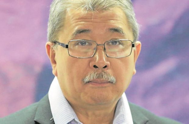
MANILA, Philippines — From victims of disasters to victors.
This is how the Department of Science and Technology (DOST) hopes to rebrand Filipino resilience, which is “not about mere survival but our ability to adapt, adjust and transform,” according to Science and Technology Secretary Fortunato de la Peña.
In his address at the 2022 Asia Pacific Science and Technology Conference for Disaster Risk Reduction, De La Peña highlighted the breakthrough technology developed by a Filipino, which is a cost-effective 24/7 structural monitoring system for buildings and bridges.
“In disaster response, the data we gather from the technologies we have developed is the backbone of our approach to responding to disaster impact. We ensure that with early warning, there’s early action,” he said.
The Universal Structural Health Evaluation and Recording (Usher) System—consisting of an accelerograph/sensor, a web portal and a mobile application—was developed to address concerns on building conditions before, during and after strong earthquakes.
It can record the vibration frequency of buildings and bridges by measuring their acceleration, providing local government officials and building managers with information on whether the structures need repair or upgrades to survive natural disasters.
According to the DOST Philippine Council for Industry, Energy and Emerging Technology Research and Development, the Usher system could be installed in buildings, bridges, dams and other critical structures.
“[It would] allow property managers to monitor the structural integrity of the building, and ensure economical and hassle-free compliance with Philippine structural code and government regulations,” it said.
Through the system, stakeholders would be able to comply with the National Structural Code of the Philippines and the Department of Public Works and Highways’ Implementing Rules and Regulation on Earthquake Recording Instruments.
Aside from the Usher system, De La Peña said the Philippines also uses data from its own micro and nanosatellites Diwata 1 and 2 and Maya 1 and 2.
The satellite data and sensors help in mapping hazards and evaluating the environmental conditions on the ground.
RELATED STORIES
La Salle-DOST project seeks to preserve Mangyan script
DOST seeks independent regulator for nuke plants
DOST studies confirm virgin coco oil can help ease COVID symptoms
