Storm signals lifted in Cagayan, Ilocos Norte as Typhoon Kiko moves northwestward
MANILA, Philippines — Typhoon Kiko continues to weaken as it moves northwestward over Itbayat, Batanes, while Tropical Cyclone Wind Signals (TCWS) were lifted in the northern portion of Cagayan and Ilocos Norte, the state weather service said on Saturday.
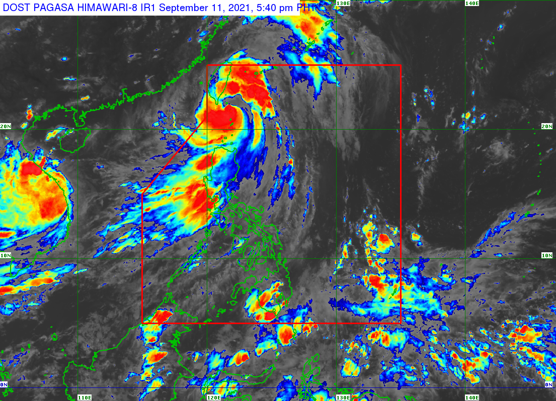
In its 5 p.m. bulletin, the Philippine Atmospheric, Geophysical and Astronomical Services Administration (Pagasa) said Kiko’s eye is still estimated to be over the coastal waters of Itbayat, Batanes, packing maximum sustained winds of 185 kilometers per hour (kph) near the center and gustiness of up to 230 kph.
In an earlier forecast, the northern portion of Cagayan and Ilocos Norte was placed under TCWS No. 1.
TCWS No. 4, however, remains in the northern portion of Batanes, which will experience very destructive typhoon force winds that are either prevailing or expected within 12 hours, according to Pagasa.
The rest of Batanes will experience destructive typhoon force winds within 18 hours under TCWS No. 3.
Article continues after this advertisementThe northeastern portion of Babuyan Islands was placed under TCWS No.2, which means that damaging gale-force to storm-force winds may occur within 24 hours.
Article continues after this advertisementThe rest of the Babuyan Islands is under TCWS No. 1, where strong winds may prevail within 36 hours.
Pagasa said Typhoon Kiko is forecast to move north-northeastward in the next 12 hours as it moves over the sea east of Taiwan.
Typhoon Kiko is expected to exit the Philippine Area of Responsibility tomorrow evening, according to Pagasa.