Typhoon Kiko slightly weakens, Batanes still under Signal No. 4
MANILA, Philippines — Typhoon Kiko slightly weakened as it crossed Itbayat, Batanes on Saturday with the northern part of Batanes still under Tropical Cyclone Wind Signal (TCWS) No. 4, the state weather service said.
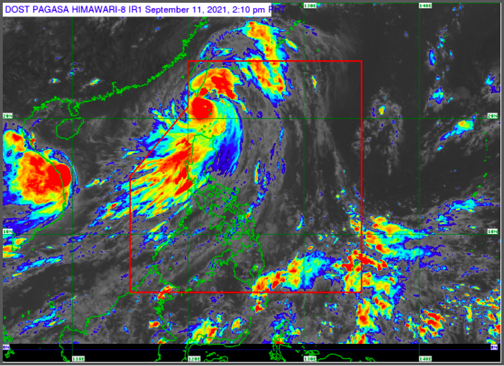
In its 2 p.m. bulletin, Philippine Atmospheric, Geophysical and Astronomical Services Administration (Pagasa) said the center of Kiko’s eye is estimated to be over the coastal waters of Itbayat, Batanes, with maximum sustained winds of 195 kilometers per hour (kph) near the center, gustiness of up to 240 kph.
Pagasa said the northern portion of Batanes will experience destructive typhoon force winds within 12 hours under TCWS No. 4.
Pagasa hoisted TCWS No. 3 over the rest of Batanes where destructive typhoon-force winds are to be experienced within 18 hours.
TCWS No. 2 meanwhile was raised over the northern portion of the Babuyan Islands, where damaging gale-force to storm-force winds are expected within 24 hours.
For the rest of the Babuyan Islands, the northern portion of Cagayan (Santa Ana, Santa Teresita, Buguey, Aparri, Camalaniugan, Ballesteros, Abulug, Pamplona, Sanchez-Mira, Claveria, Santa Praxedes, Gonzaga) and the northeastern portion of Ilocos Norte (Pagudpud) will expect strong winds within 36 hours under TCWS No 1.
Over the next 24 hours, “rough to phenomenal seas” with waves 2.5 to 15.0 meters tall will be experienced in the seaboards of areas where tropical cyclone wind signals are in effect, according to Pagasa.
“Sea travel is risky for all types of sea vessels. Mariners are advised to remain in port or take shelter in port until winds and waves subside,” Pagasa said.
Moderate to rough seas with waves 1.2 to 3.5 meters tall will be experienced in the eastern seaboards of Northern and Central Luzon that are not under tropical cyclone wind signals. This means that sea travel will be risky for small seacraft with mariners being advised to take precautions.
Pagasa also raised a gale warning on the seaboards of Ilocos Norte, Ilocos Sur, Zambales and Bataan, as well as the on the western seaboards of Palawan including the Calamian and Kalayaan Islands and Occidental Mindoro including the Lubang Islands.
Typhoon Kiko is forecast to exit the Philippine Area of Responsibility tomorrow evening or on Monday early morning, said Pagasa.