Future Baguio constructions to follow calamity map
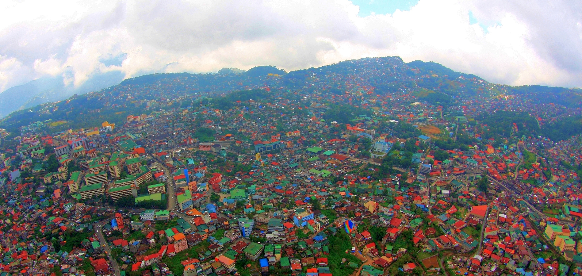
BOOM The heavy commercial buildup of Baguio before the coronavirus pandemic will soon be tempered by landslide, sinkhole and even flood data to be used by city planners. Residents have complained about the mountain city’s unregulated development. —EV ESPIRITU
BAGUIO CITY—The city is putting together a new building ordinance that will conform to geohazard maps by reducing height ceilings for structures near sinkholes and other potential calamities or allow them to rise by as much as 20 stories when these are on safer ground.
The current ordinance sets a uniform ceiling of 8 meters for all buildings in the city. But city administrator Bonifacio de la Peña, a geodetic engineer, said the law should have multiple ceilings for each zone according to the geological condition of these areas.
This was discussed at a city managers meeting on Wednesday after they established how many households, commercial establishments and lifeline facilities, like power lines and waterlines, are within these hazards.
Exactly 114.43 hectares of Baguio’s commercial areas are highly susceptible to landslides based on the integration of data on population, property and utilities service, said Donna Rillera Tabangin, city planning officer.
These data were accompanied by recent geological hazard maps and archival records dating back to 1950.
In 2016, the Mines and Geosciences Bureau released geohazard maps that identified over 170 sinkholes dotting the western portion of the city.
Tabangin said fresh analysis done by experts also showed that 11.03 ha of commercial properties are on or within the vicinity of these unstable grounds.
“These data would provide Baguio the actual picture of where development can and cannot happen,” Tabangin said during a meeting with city officials.
Moratorium
Since 2019, Baguio officials have considered applying a moratorium on new constructions and tree cutting permits after residents expressed concern about the impact of massive building projects on the carrying capacity of the city’s resources.
Some developers also secured zoning exemptions to build in residential areas and private woodlands at the city’s outskirts.
Baguio’s remaining tree population had been pegged at 2.5 million, including the 500,000 Benguet pine trees, prompting the city council on Monday to suggest putting a threshold on displaced trees.
The city building office is conducting a new inventory of structures to identify which property owners are at risk.
But the collated data had pinpointed how many households, roads, power lines and water pipes could be affected by these hazards.
Tabangin said these details would be incorporated in an updated land use plan and zoning ordinance that is being reviewed by the city council, so Baguio’s urbanization could be managed better.
Urban plan flaws
By putting together all data available in Baguio, Mayor Banjamin Magalong said the government had discovered flaws in early urban plans that could now be corrected.
For example, the data could refine the city’s building ordinance which uniformly sets the building skyline at eight floors, regardless of the geological condition of the property, De la Peña added.
He said some developers have constructed multiple basements to maximize profit in the absence of guidelines, which could be risky given the new geohazard report.
Magalong asked a technical working group (TWG) handling the data integration for the planning office to examine if high-profile projects are vulnerable to these potential disasters.
These projects include an integrated mass transport terminal, a modern city market, the overhaul of Baguio’s sewers and its wastewater treatment plant, and a proposed monorail.
Ecozone
The city’s economic zone appeared to be in a safer position.Baguio City ecozone pioneer Texas Instruments Philippines and other manufacturers are within 132.36 ha of land that has low susceptibility to landslides, said Rustom Dayao, a member of the TWG who presented the data to the city managers.
The city’s only airport is also in a low-risk zone, he said.
About 65.1 percent of the city territory is red-marked for high susceptibility to landslides. That includes 82 ha of the Busol Watershed where 704 informal settlers are exposed.