Low chance for PH to have weather disturbance in next 3 days — Pagasa
Source: Pagasa / DOST
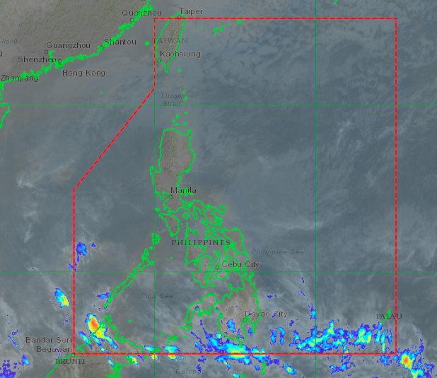
MANILA, Philippines — There will be a low chance that a typhoon or low pressure area will enter the country in the next three days, the Philippine Atmospheric, Geophysical and Astronomical Services Administration (Pagasa) said Friday.
“As of now, within the next three days, maliit ang tyansa na magkaroon ng bagyo at low pressure area dahil malamig pa rin ang bumubugsong hangin dito sa Pacific Ocean,” Raymond Ordinario, state weather specialist, said in a 4 p.m. weather forecast livestreamed on Pagasa Facebook page.
(There’s a low chance that a typhoon and low pressure area will enter because cold weather is still prevailing in the Pacific Ocean.)
https://www.facebook.com/PAGASA.DOST.GOV.PH/videos/336967180791014/
Meanwhile, Ordinario said northeast monsoon or amihan is still the “dominant weather system” affecting Luzon and Visayas areas within the next 24 hours.
Article continues after this advertisementOrdinario said Cagayan Valley, Cordillera Administrative Region, Bicol Region, Aurora and Quezon will experience cloudy skies with rains due to amihan.
Article continues after this advertisementMetro Manila will also have fair weather but with chances of light rains caused by the northeast monsoon.
Cloudy skies with scattered rains will persist in Visayas areas, which is also affected by the cold weather of northeast monsoon.
In Mindanao, cloudy skies with isolated rains will be experienced due to localized thunderstorms. However, flash floods and landslides might occur during severe thunderstorms in the southern Philippines.