Ulysses accelerates; no more areas under Signal No. 3 – Pagasa
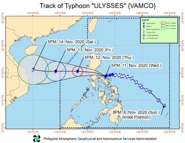
MANILA, Philippines — Typhoon Ulysses (international name: Vamco) increased its speed even as it maintained its strength while continuously crossing Central Luzon, the latest bulletin of the Philippine Atmospheric, Geophysical and Astronomical Services Administration (Pagasa) has shown.
Pagasa’s 2 p.m. weather update indicated that Ulysses was packing maximum sustained winds of 130 kilometers per hour (kph) near the center and gustiness of up to 160 kph while moving westward at 25 kph to 35 kph.
As of 1 p.m., the state weather bureau said the eye of Ulysses was spotted 140 kilometers west of Iba, Zambales.
Pagasa also announced the lifting of Tropical Cyclone Wind Signal No. 3, although it said moderate to heavy rain will still persist in the Cordillera Administrative Region, eastern portions of Cagayan and Isabela, Zambales, Bataan, Aurora, Cavite, western portion of Batangas, and Occidental Mindoro, including Lubang Island, until Thursday night.
Light to moderate rain with at times heavy rains will prevail over Western Visayas, Samar Provinces, Metro Manila, and the rest of Luzon, it added.
Meanwhile, Pagasa placed the following areas under:
Tropical Cyclone Wind Signal No. 2
- Western portion of Pangasinan (Bayambang, Bautista, Alcala, Santo Tomas, Malasiqui, Santa Barbara, Mangaldan, Dagupan City, Basista, San Carlos City, Calasiao, Binmaley, Urbiztondo, Mangatarem, Aguilar, Bugallon, Lingayen, Labrador, Infanta, Mabini, Sual, Dasol, Burgos, Alaminos City, Agno, Bani, Bolinao, Anda)
- Zambales
- Bataan
- Tarlac
- Pampanga
- Southwestern portion of Bulacan (Baliuag, Bustos, San Jose del Monte City, Santa Maria, Marilao, Pandi, Meycauayan City, Bocaue, Balagtas, Plaridel, Obando, Bulacan, Guiguinto, Malolos City, Pulilan, Calumpit, Paombong, Hagonoy)
- Metro Manila
- Cavite
- Southwestern portion of Batangas (Talisay, San Nicolas, Laurel, Agoncillo, Taal, Santa Teresita, San Luis, Bauan, Mabini, Alitagtag, Lemery, Calaca, Balayan, Tuy, Nasugbu, Lian, Calatagan, Tingloy)
- Northwestern portion of Occidental Mindoro (Paluan, Abra de Ilog), including Lubang Island
Tropical Cyclone Wind Signal No. 1
- Southern portion of Ilocos Sur (Magsingal, Santo Domingo, San Ildefonso, San Vicente, Bantay, Santa Catalina, Vigan City, Caoayan, Santa, Narvacan, Nagbukel, Santa Maria, Burgos, San Esteban, San Emilio, Quirino, Cervantes, Alilem, Sugpon, Suyo, Sigay, Gregorio Del Pilar, Salcedo, Santa Cruz, Tagudin, Santa Lucia, Galimuyod, Candon City, Banayoyo, Santiago, Lidlidda)
- La Union
- the rest of Pangasinan
- Southwestern portion of Abra (Tubo, Luba, Villaviciosa, Pilar, Manabo, San Isidro, Bangued, Pidigan, Langiden, San Quintin)
- Western portion of Mountain Province (Bontoc, Sadanga, Sagada, Sabangan, Bauko, Tadian, Besao)
- Western portion of Ifugao (Lagawe, Banaue, Hingyon, Hungduan, Tinoc, Asipulo, Lamut, Kiangan)
- Benguet
- Nueva Vizcaya
- Southern portion of Aurora (Maria Aurora, Baler, San Luis, Dingalan)
- Nueva Ecija
- the rest of Bulacan
- Northern and western portions of Quezon (Lucena City, Pagbilao, Sariaya, Candelaria, Tiaong, San Antonio, Dolores, Tayabas City, Lucban, Mauban, Sampaloc, Real, General Nakar, Infanta)
- Rizal
- Laguna
- the rest of Batangas
- Northwestern portion of Oriental Mindoro (Puerto Galera, San Teodoro, Baco, Calapan City, Naujan)
- the rest of the northern portion of Occidental Mindoro (Santa Cruz, Mamburao)\
KGA