


MANILA, Philippines — Tropical storm Rolly (international name: Goni) slightly intensified as it is expected to exit the Philippine Area of Responsibility (PAR) on Tuesday, according to the state weather bureau.
In its 11 a.m. weather bulletin, the Philippine Atmospheric, Geophysical and Astronomical Services Administration (Pagasa) said that Rolly is expected to remain as a tropical storm throughout the bureau’s forecast period.
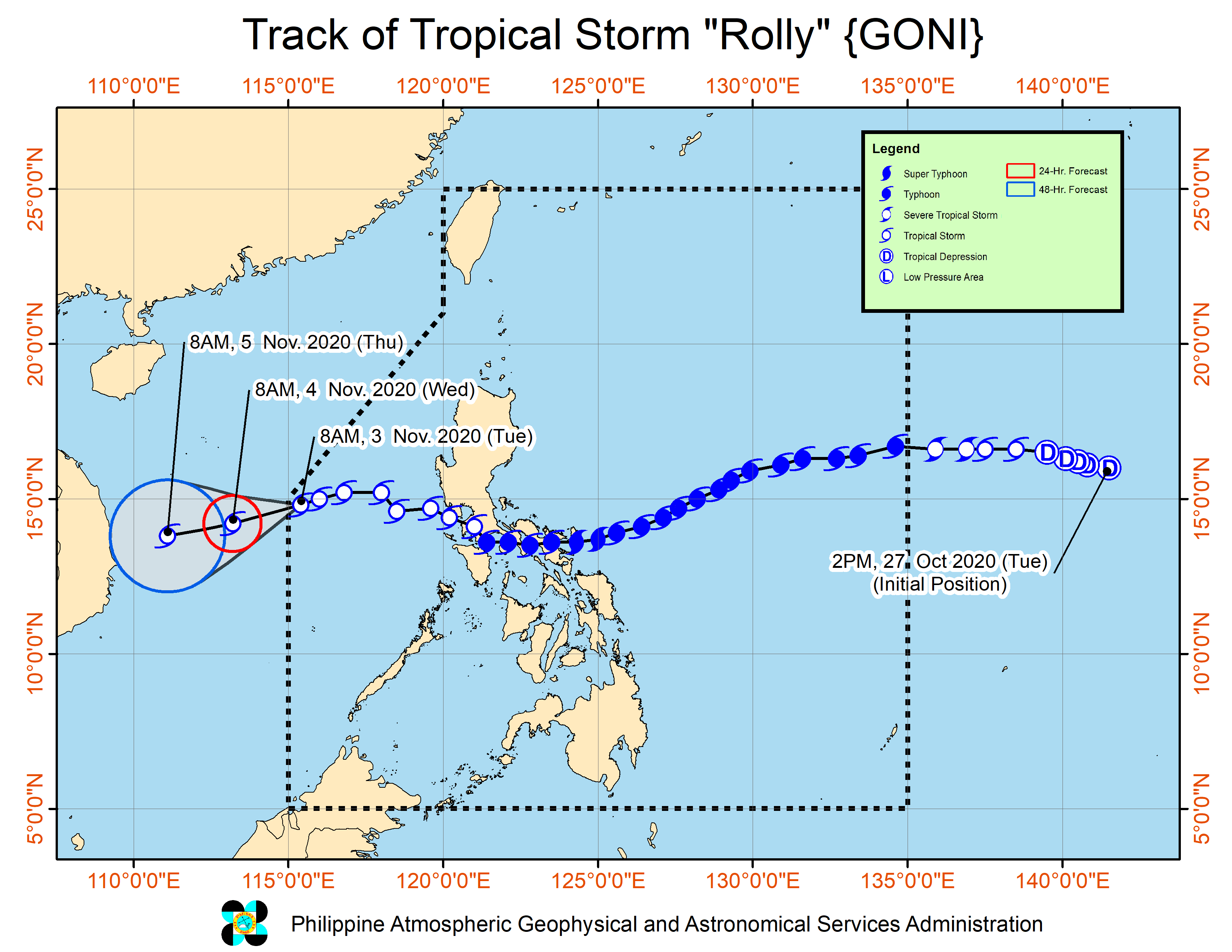
Rolly was last spotted at 540 kilometers west of Subic, Zambales.
The tropical storm also packed maximum sustained winds of 75 kilometers per hour (kph) near the center, and gustiness of up to 90 kph.
Rolly was monitored moving west southwestward at 15 kph.
Based on Pagasa’s data, Rolly is no longer affecting the country. However, Rolly, along with tropical storm Siony and the enhanced northeasterlies will bring rough to very rough seas—2.8 to 4.5 meters—over the seaboards of Northern Luzon.
Because of this, sea travel is risky over the seaboards of Northern Luzon, especially for those using small seacrafts, Pagasa warned.
Formerly a super typhoon, Rolly left at least 16 people dead and P5.756 billion in damages as it battered Southern Luzon on Sunday.
Rolly is also considered the strongest tropical cyclone in the world so far in 2020.