‘Quinta’ to bring moderate to heavy rains before exiting PAR
MANILA, Philippines — Typhoon Quinta will still dampen parts of the country this Tuesday as the low pressure area (LPA) outside the Philippine area of responsibility is forecast to intensify into a tropical depression in the next 48 hours and enter PAR on Wednesday or Thursday, according to the state weather bureau.
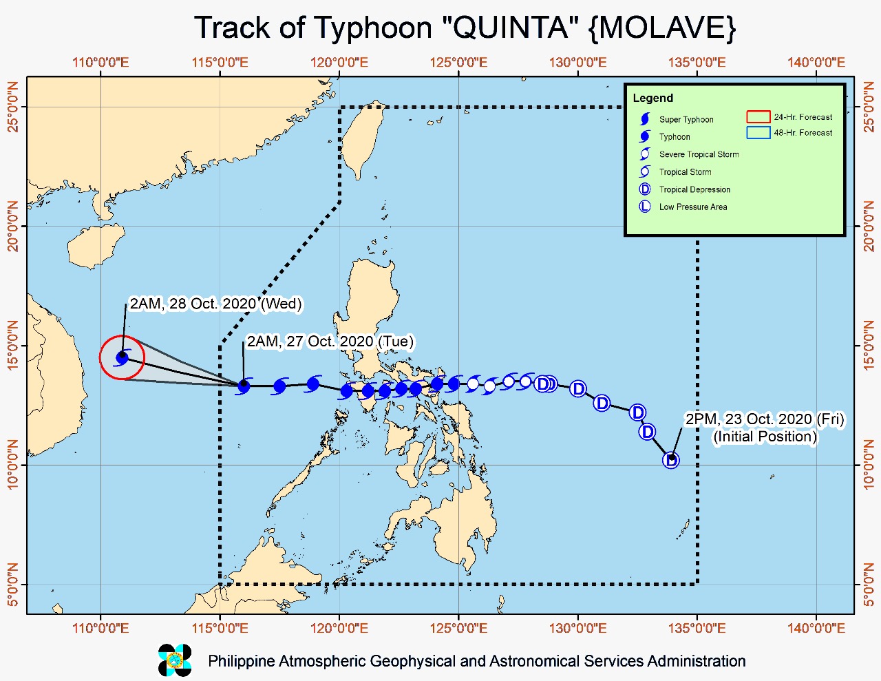
The eye of typhoon Quinta was last spotted 605 kilometers west of Calapan City, Oriental Mindoro or 305 km north-northeast of Pagasa Island, Palawan, based on the severe weather bulletin issued by the Philippine Atmospheric, Geophysical and Astronomical Services Administration (Pagasa) at 5 a.m.
The typhoon is moving westward at 25 kilometers per hour and has maximum sustained winds of 140 kph near the center and gustiness of up to 170 kph. Meanwhile, the LPA outside PAR was last located 1,855 km east of southern Luzon.
“’Quinta’ is forecast to exit the Philippine Area of Responsibility this morning. The typhoon is expected to further intensify over the West Philippine Sea and reach its peak intensity within 24 hours,” Pagasa said.
For the weather forecast, Pagasa said Quinta is expected to bring moderate to heavy rains over Western Visayas, Occidental Mindoro, Palawan including Calamian, Cuyo, and Kalayaan Islands, Aurora, Isabela, Cagayan and light to moderate with at times heavy rains over Zamboanga Peninsula, Bangsamoro, Northern Mindanao, Caraga, and the rest of Luzon and Visayas.
The agency warned that flooding and rain-induced landslides may occur during heavy or prolonged rainfall especially in areas that are highly or very highly susceptible to these hazards.
Only Kalayaan Islands is placed under tropical cyclone wind signal (TCWS) number 1 as of now, according to Pagasa. Winds of 30 to 60 kph may be expected in at least 36 hours or intermittent rains may be expected within 36 hours in an area placed under TCWS no. 1.
The weather bureau further said that strong breeze to near gale conditions will be experienced in Kalayaan Islands. Strong breeze to gale conditions associated with the northeasterlies, meanwhile, will prevail in Batanes, northern Cagayan including Babuyan Islands, Apayao, and Ilocos Norte, while occasional gusts associated with the outer circulation of Quinta will still be experienced over Mimaropa, Western Visayas, and the western section of Luzon.
“Swells of 2.0 to 3.0 m due to the typhoon can cause significant breaking waves that may bring potentially damaging surf conditions over the western coastal areas of Pangasinan, Central Luzon, Occidental Mindoro, and Palawan including Calamian Islands,” Pagasa added.