‘Pepito’ slightly intensifies as it makes landfall over Aurora
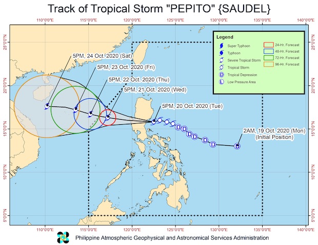
Track of Tropical Storm Pepito as of Tuesday evening (Image from PAGASA)
MANILA, Philippines — Tropical Storm Pepito, internationally known as Saudel, made landfall over the San Ildefonso Peninsula in Casiguran town of Aurora late on Tuesday, according to the Philippine Atmospheric, Geophysical and Astronomical Services Administration (Pagasa).
Pepito slightly intensified, packing maximum sustained winds of 75 kilometers per hour near the center, with a stronger gustiness reaching up to 125 kph.
It was last spotted in the vicinity of Aurora’s Dinalungan town as of 10:00 p.m.
It slowed down a bit, however, moving westward at 20 kph.
It was still expected to cross the Luzon landmass, emerge over the West Philippine Sea by Wednesday morning, and then leave the Philippine area of responsibility by Thursday evening.
As of this writing, Tropical Cyclone Wind Signal No. 2 was still raised over the following areas as wind speeds may reach from 60 to 120 kph in the next 24 hours:
- La Union
- Pangasinan
- Ifugao
- Benguet
- Nueva Vizcaya
- Quirino
- Nueva Ecija
- Tarlac
- Aurora
- the southern portion of Isabela (Palanan, San Mariano, Benito Soliven, Naguilian, Gamu, Burgos, San Manuel, Aurora, Cabatuan, Luna, Reina Mercedes, Cauayan City, Dinapigue, San Guillermo, Angadanan, Alicia, San Mateo, Ramon, San Isidro, Echague, San Agustin, Jones, Santiago City, Cordon)
- the southern portion of Ilocos Sur (Sugpon, Alilem, Tagudin)
- the northern portion of Zambales (Iba, Palauig, Masinloc, Candelaria, Santa Cruz, Botolan, Cabangan)
- the northern portion of Bulacan (San Miguel, Doña Remedios Trinidad)
- the northern portion of Pampanga (Candaba, Arayat, Magalang, Mabalacat)
- the northern portion of Quezon (General Nakar) including Polillo Islands
Metro Manila and the following were placed under Signal No. 1:
- Abra
- Kalinga
- Mountain Province
- Bataan
- Rizal
- the rest of the northern portion of Quezon (Infanta, Real)
- the rest of Ilocos Sur
- the rest of Isabela
- the rest of Pampanga
- the rest of Bulacan
- the rest of Zambales
Due to Pepito, moderate to heavy rains may be felt from Tuesday night to Wednesday morning over Central Luzon, Cordillera Administrative Region, northern Quezon (including Polillo Islands), Nueva Vizcaya, Quirino, Isabela, mainland Cagayan, La Union, and Pangasinan.
Light to moderate and at times heavy rains may fall over Metro Manila during the same period, plus the rest of Luzon, Western Visayas, Zamboanga Peninsula, and the Bangsamoro Autonomous Region in Muslim Mindanao.
Pagasa urged residents in areas with wind signal warnings to monitor weather updates and coordinate with local governments, especially as flash floods and rain-induced landslides were still possible for those living in low lying areas and near mountain slopes.
High to gale-force winds may also prevail in areas under the wind signal warnings, especially in the Northern Luzon areas which will also be affected by the northeasterly surface wind flow.
A gale warning remained over the seaboards of Batanes, Cagayan, and Ilocos Norte and the western seaboards of Batangas and Occidental Mindoro (including Lubang Island).
Pagasa also noted that seaboards of localities under both Signals No. 1 and N .2 might also have the same sea conditions, ranging from rough to very rough, making sea travel very risky.
For the rest of the country, moderate to rough seas may prevail especially over Palawan, the eastern seaboards of Southern Luzon, Eastern Visayas, Caraga, and Davao Region.
[atm]