Signal No. 1 lifted in all areas, ‘Ofel’ now over West PH Sea
MANILA, Philippines — Tropical Depression Ofel is now over the West Philippine Sea as the Philippine Atmospheric, Geophysical and Astronomical Services Administration (Pagasa) lifted tropical cyclone wind signal (TCWS) number 1 in all previously-affected areas on Thursday.
“Tropical Cyclone Wind Signal #1 is hereby lifted for all localities. However, occasional gusts may still be experienced over Zambales, Bataan, Cavite, Batangas, Occidental Mindoro, and Palawan (including Calamian and Kalayaan Islands) due to “OFEL” and the Southwest Monsoon,” Pagasa said in its 8a.m. weather bulletin.
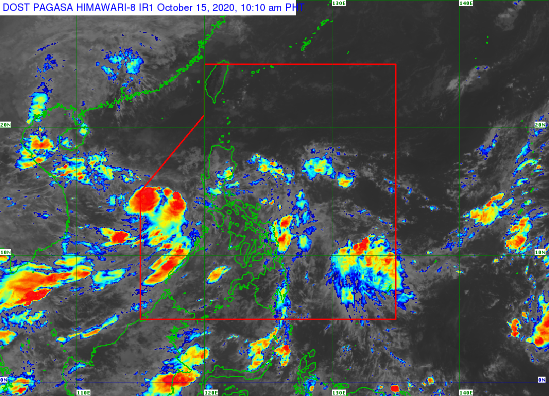
Pagasa reported that as of 8a.m. Thursday, the center of “Ofel” was 170 kilometers west-northwest of Calapan City, Oriental Mindoro or 150 kilometers west of Tanauan City, Batangas.
Moving westward at 20 kilometers per hour, it currently has maximum sustained winds of 45 kph near the center and gustiness of up to 55 kph.
Meanwhile, gusty conditions associated with the northeasterly surface wind flow will also be experienced over Batanes, Babuyan Islands, Cordillera Administrative Region, Aurora, and the coastal and mountainous areas of Ilocos Norte and mainland Cagayan Valley.
Article continues after this advertisementAccording to Pagasa, “Ofel” will continue to move west or west-northwest over the West Philippine Sea this Thursday.
Article continues after this advertisement“There is an increasing likelihood that this tropical depression will weaken into a low pressure area within the next 12 to 24 hours over the West Philippine Sea,” it added.
The weather bureau also said that moderate to heavy rains will be experienced in Aurora province.
Light to moderate with at times heavy rains, meantime, will prevail in Cagayan Valley, Cordillera Administrative Region, and the rest of Central Luzon due to “Ofel”, and over Occidental Mindoro and Palawan (including Calamian, Cuyo, and Kalayaan Islands) due to the southwest monsoon.
Pagasa warned that flooding and rain-induced landslides may occur during heavy or prolonged rainfall.
According to the weather bureau, the center of the tropical depression is forecast to be 730 kilometers west of Subic Bay and outside the Philippine area of responsibility by Friday morning.
Rough seas
A gale warning is currently in effect over the entire seaboard of Northern Luzon and the seaboard of Aurora due to rough to very rough seas (2.5 to 4.5 m) associated with the northeasterly surface wind flow.
Pagasa said sea travel is risky over these areas, especially for those using small seacraft.
Meanwhile, moderate to rough seas (2.1 to 3.5 m) due to “Ofel” and the southwest monsoon will be experienced over the seaboards of Zambales, Bataan, Quezon, Occidental Mindoro, and Palawan (including Calamian and Kalayaan Islands). Operators and crewmen of small vessels are advised not to venture out to sea.