Source: Pagasa / DOST
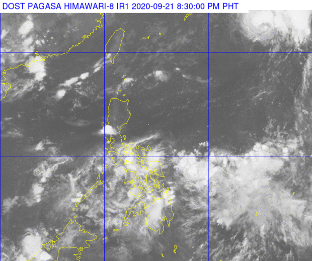
MANILA, Philippines — The low pressure area (LPA) spotted over eastern Visayas is not expected to develop into a tropical cyclone as it may dissipate over time when it hits land, state meteorologists said.
Weather for most parts of the country would be hot and humid with occasional rains in the afternoon and night due to isolated rain showers, weather updates from the Philippine Atmospheric, Geophysical and Astronomical Services Administration (Pagasa) on Monday afternoon showed.
No weather disturbance has been observed near the country as of now, after former Tropical Depression Marce left the Philippine area of responsibility (PAR) earlier.
For Wednesday’s forecast, temperatures over Metro Manila and Laoag will range from 25 to 33 degrees Celsius, 26 to 32 degrees Puerto Princesa, and 22 to 31 degrees in Tagaytay.
In Visayas and Mindanao, rains are possible in Iloilo and Tacloban due to the LPA, with temperatures ranging from 25 to 31 degrees, 26 to 32 degrees in Cebu. It will be quite hot in Davao and Zamboanga, with respective temperatures of 25 to 35 degrees and 26 to 34 degrees.
No gale warning is currently raised over any part of the country, but sea condition for Luzon’s seaboards as well as the whole eastern coast will be moderate. The rest of the country’s waters meanwhile, will have a slight to moderate condition.
***
This weather report is brought to you by