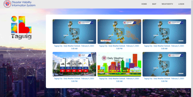
Screenshot of the weather monitoring system of Taguig City.
MANILA, Philippines — The local government of Taguig launched its first-ever localized weather monitoring system, which will be used by residents or visitors in the city for real-time updates on weather condition, storms, disasters and other information affecting all barangays within Taguig.
The Taguig Weather Monitoring System relies on 100 monitoring cameras installed in key locations in the city to help the local government and other department heads to make decisions or determine what steps to make during times of disasters and calamities.
“This is a breakthrough in the country’s disaster preparedness because it provides localized and area-specific updates and we are happy [that] Taguig is part of this historic occasion,” Taguig Mayor Lino Cayetano said in a statement.
The live feed of cameras can be viewed on this website: https://dvis-taguig.com.
The system is also used for localized flood monitoring, hazard mapping and community weather updates which correlates to information provided by Philippine Institute of Volcanology and Seismology and the nation’s weather bureau Philippine Atmospheric, Geophysical and Astronomical Services Administration.
It can also show the distance of the eye of storm to a specific area which provides six-hour weather forecasts for up to a 15-day period.
Aside from this, the city weather monitoring system has earthquake analytics, which can display the exact distance from the tremor’s epicenter to a specific place in Taguig.