LPA near PAR has low chance of developing into storm — Pagasa
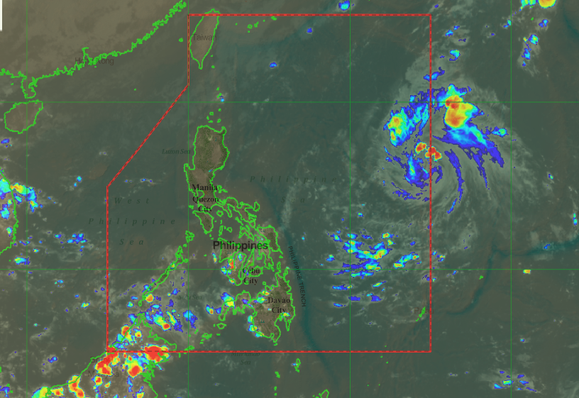
Screen shot from Pagasa-DOST website on Tuesday, Oct. 15 at 5:40 p.m.
MANILA, Philippines — The low pressure area spotted east northeast of Visayas has a low chance of developing into a storm, the Philippine Atmospheric, Geophysical and Astronomical Services Administration (Pagasa) reported Tuesday afternoon.
According to the state weather bureau’s forecast, the LPA was spotted 1,160 kilometers east northeast of Visayas.
While it is not expected to develop into a storm, it will traverse near the extreme northern Luzon region which may bring rain showers in the area in the following days.
Meanwhile, the intertropical convergence zone continues to affect Mindanao as well as Eastern and Central Visayas, bringing cloudy skies with scattered light to moderate rains on Tuesday night to Wednesday morning.
Likewise, a northeasterly surface windflow will prevail over Luzon and will bring cloudy skies with light rain showers in Batanes and Cagayan.
Article continues after this advertisementMetro Manila, meanwhile, will continue to have generally fair weather with isolated rain showers in the afternoon and evening, Pagasa said. /je