Tropical depression outside PAR slightly intensifies, moving east
MANILA, Philippines — The tropical depression spotted outside the Philippine Area of Responsibility (PAR) has slightly intensified and is moving east, the state weather bureau said Wednesday.
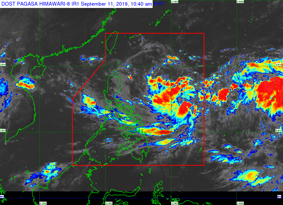
In its 11 a.m. weather bulletin, the Philippine Atmospheric, Geophysical and Astronomical Services Administration (Pagasa) said the tropical depression was last spotted 1,495 kilometers east of Visayas.
Pagasa said the latest weather disturbance is moving east at 15 kilometers per hour (kph).
The tropical depression is packing maximum sustained winds of 55 kph near the center, and gustiness of up to 70 kph.
According to Pagasa, the tropical depression is forecasted to enter the PAR within 48 hours.
Article continues after this advertisementOnce inside the PAR, the weather disturbance will be named “Marilyn,” Pagasa added.
Meanwhile, the provinces of Mindoro, Romblon, Marinduque, the northern portion of Palawan (including Calamian and Cuyo Island), Visayas and Bicol Region will experience scattered light to moderate rain with at times heavy rain due to the trough of the tropical depression and the southwest monsoon or “habagat.” /muf