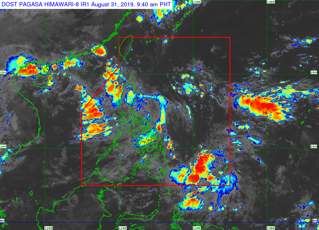
MANILA, Philippines — The state weather bureau on Saturday said it is closely monitoring the movements of two low-pressure areas (LPAs).
In its 4 a.m. weather bulletin, the Philippine Atmospheric, Geophysical and Astronomical Services Administration (Pagasa) said one of the LPAs has entered the Philippine Area of Responsibility (PAR). The first LPA was last spotted at 240 kilometers east of Aparri, Cagayan.
The second LPA was spotted at 955 kilometers east of Hinatuan, Surigao del Sur. Pagasa added it is expected that the center of the LPA will enter the PAR.
Meanwhile, the western section of Luzon will be affected by the southwest monsoon or “Habagat.”
Metro Manila and the rest of Luzon will have cloudy skies with scattered rain showers and thunderstorms due to effects brought by the southwest monsoon.
Cloudy skies with scattered rain showers and thunderstorms caused by the LPA was forecasted over the Ilocos Region, Cordillera Administrative Region, Cagayan Valley, Central Luzon, Bicol Region, and Quezon province.
Caraga, Davao Region and Soccksargen will have cloudy skies with scattered rain showers and thunderstorms due to the trough of the LPA.
As for the rest of the country, partly cloudy to cloudy skies with isolated rain showers will be experienced due to localized thunderstorms. /muf
