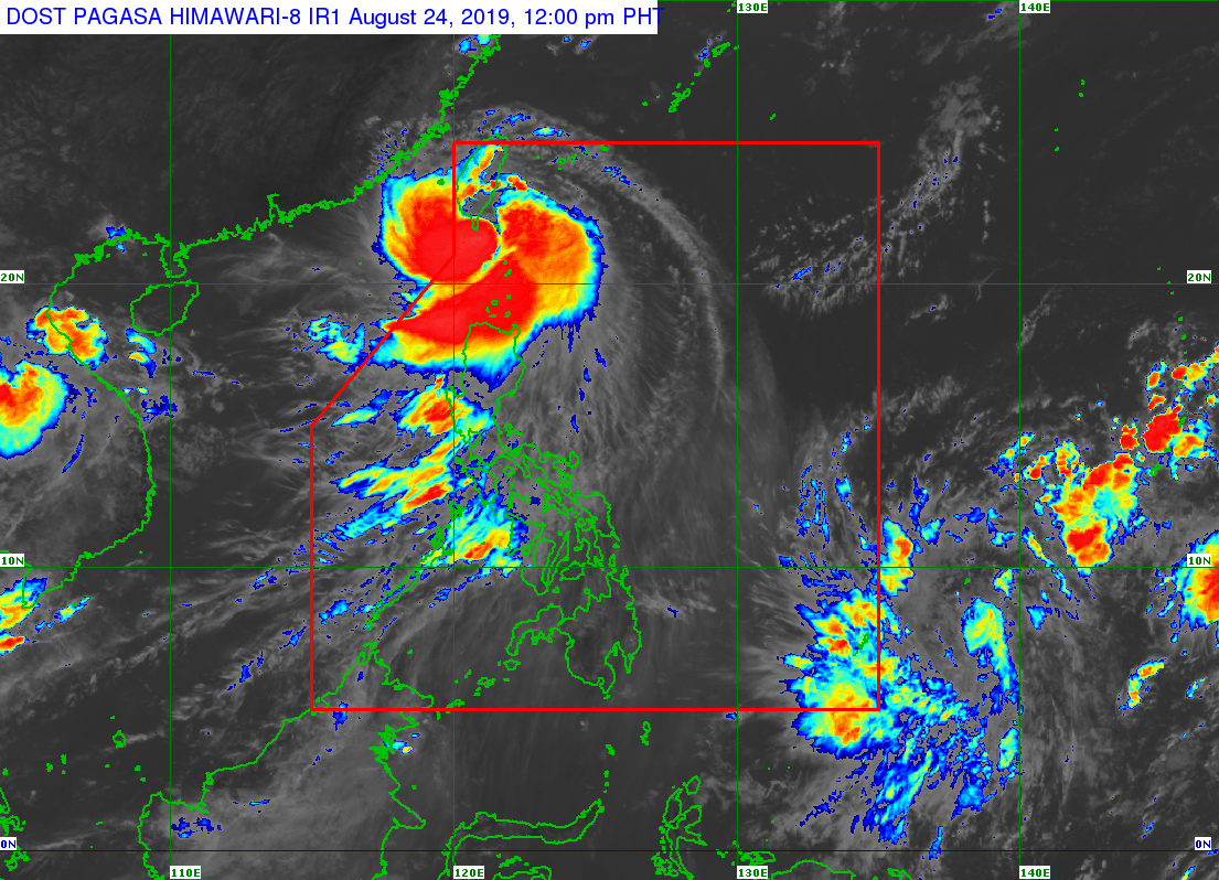
Pagasa: New LPA spotted in Mindanao as ‘Ineng’ heads to southern Taiwan
MANILA, Philippines — The Philippine, Atmospheric, Geophysical and Astronomical Services Administration (Pagasa) on Saturday said it is monitoring a new low-pressure area (LPA) spotted in Mindanao as severe Tropical Storm “Ineng” is heading towards southern Taiwan.
In its 11 a.m. weather bulletin, the state weather bureau said the new LPA was last spotted 1,835 kilometers east of Mindanao.
Pagasa also said that the LPA may enter the Philippine Area of Responsibility (PAR) on Monday morning.
Meanwhile, “Ineng” will continue to cross the Bashi channel as it is heading southern Taiwan. The severe tropical storm is also expected to leave the PAR by Saturday afternoon.
“Ineng” was spotted at 140 kilometers northwest of Basco, Batanes.
Article continues after this advertisementThe severe tropical storm also packed maximum sustained winds of 100 kilometers per hour (kph), and gustiness of up to 125 kph.
Article continues after this advertisement“Ineng” is also moving west northwest at 30 kph.
Tropical Cyclone Warning Signal (TWCS) No. 2 was hoisted over Bataan and Babuyan Group of Islands.
TCWS No. 1 is raised over Cagayan, Apayao, Northern Abra and Ilocos Norte, Pagasa added.
Moderate to heavy rain will affect Ilocos Region, Cordillera Administrative Region, Batanes, Cagayan (including Babuyan Islands), Zambales, Bataan, Mindoro Provinces, northern portions of Palawan (including Calamian and Cuyo Islands), Aklan, and Antique.
Meanwhile Metro Manila, Cavite, Laguna, Batangas, Rizal, Iloilo, Guimaras, and the rest of Cagayan Valley and Central Luzon will experience light to moderate with intermittent heavy rains. /muf
