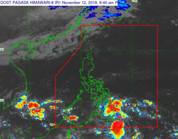

The weather bureau is tracking a low-pressure area (LPA) near Mindanao, which could potentially turn into a storm this week.
Weather specialist Ariel Rojas said the LPA would bring rain in the coming days and hit land on Tuesday.
It is also likely that the LPA will intensify into a tropical depression on Thursday after crossing the Sulu Sea. It will be locally named “Samuel.”
The LPA was spotted 405 kilometers east of Hinatuan, Surigao del Sur, the Philippine Atmospheric, Geophysical and Astronomical Services Administration said in its 5 a.m. bulletin.
Eastern Visayas and Mindanao will have cloudy skies with scattered rain and thunderstorms due to the trough of the LPA. The rest of the Visayas will have fair weather.
The Bicol Region and Palawan will also have cloudy skies with scattered rain due to the tail-end of a cold front, Pagasa said.
Metro Manila and the rest of Luzon will have fair weather and chances of isolated light rain due to the northeast monsoon or amihan. /cbb