‘Rosita’ maintains strength but slightly slows down
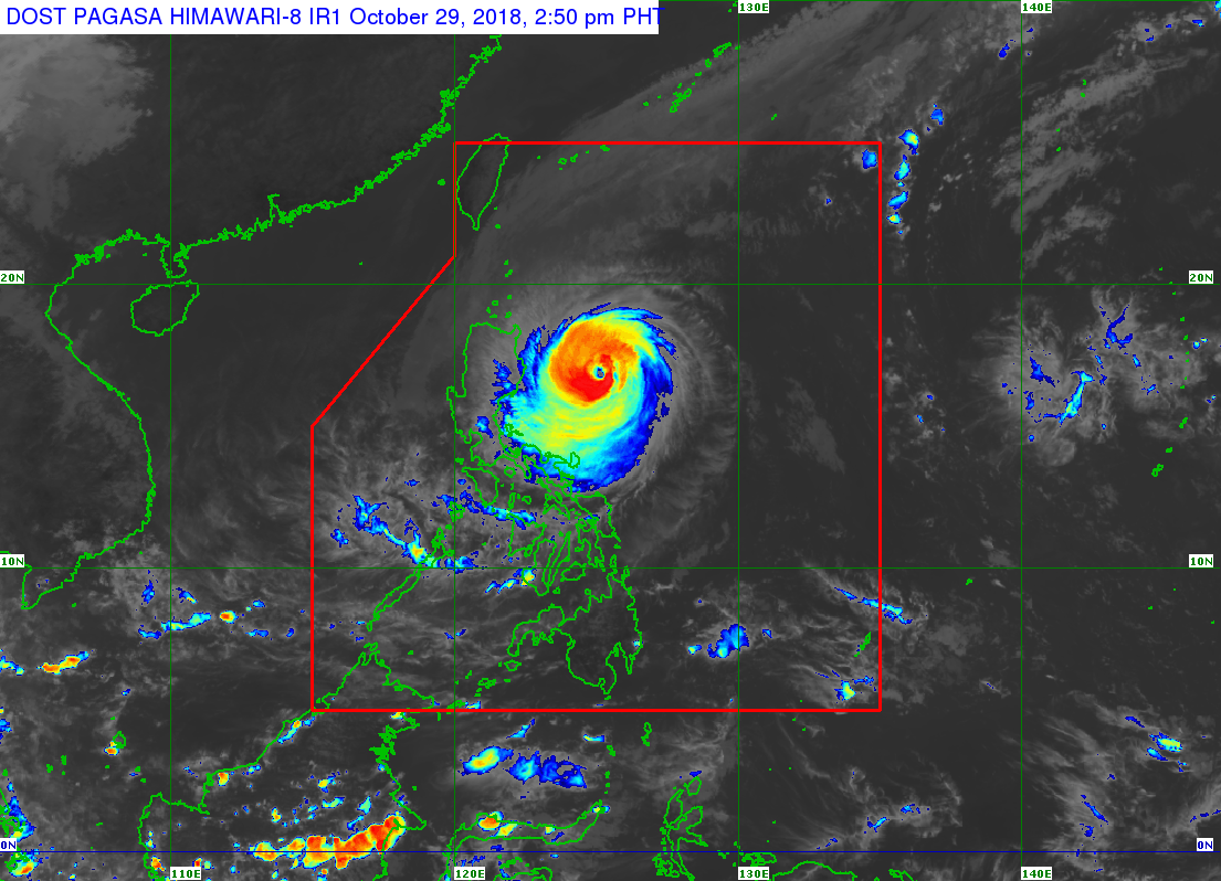
Typhoon “Rosita” (international name: Yutu) has maintained its strength but slightly slowed as it continued its west-southwest track to Isabela-Aurora area, the state weather bureau said on Monday.
In its 2 p.m. severe weather bulletin, the Philippine Atmospheric Geophysical and Administration (Pagasa) said that Rosita packed maximum sustained winds of 150 kilometers per hour (kph) and gusts up to 185 kph.
The typhoon was last spotted at 355 km east-northeast of Casiguran, Aurora, as of 1 p.m., moving in a west-southwest direction with a speed of 15 kph.
Signal No. 3 was hoisted over Isabela, Quirino and Northern Aurora, while Signal No. 2 was raised over Cagayan, Abra, Kalinga, Ilocos Sur Mountain Province, Ifugao, La Union, Benguet, Nueva Vizcaya, Pangasinan, Tarlac, Nueva Ecija, Northern Quezon including Polillo Island, and Southern Aurora.
READ: Signal No. 3 in 3 areas as weaker ‘Rosita’ moves closer to Luzon
Article continues after this advertisementSignal No. 1 was also raised over Southern Quezon, Ilocos Norte, Apayao, Batanes and Babuyan group of Islands, Zambales, Rizal, Pampanga, Bulacan, Metro Manila, Laguna, Batangas, Bataan, Cavite, and Camarines Norte.
Article continues after this advertisementThe typhoon is expected to make landfall over Southern Isabela – Northern Aurora area by Tuesday morning, Oct. 30. It is expected to traverse Aurora, Isabela, Quirino, Ifugao, Nueva Vizcaya, Benguet and La Union.
Moderate to heavy rains are expected over Northern and Central Luzon starting Monday night due to the typhoon, Pagasa said.
Residents in these areas, especially those living near river channels, in low-lying areas, and mountainous areas, are advised to take precautionary measures against possible flooding and landslides.
Rosita entered the country on Saturday and Pagasa said it may exit the Philippine Area of Responsibility by Wednesday evening (Oct. 31).
The state weather bureau said that storm surges of up to 3 meters is possible over the coastal areas of Isabela, Cagayan, Aurora, Ilocos Sur, Ilocos Norte and La Union.
Fisherfolks and those with small sea vessels are then advised not to venture out over the seaboards of areas with Tropical Cyclone Warning Signals and eastern seaboards of Southern Luzon, Visayas, and Mindanao. /je