Bad weather to persist due to ridge of low pressure
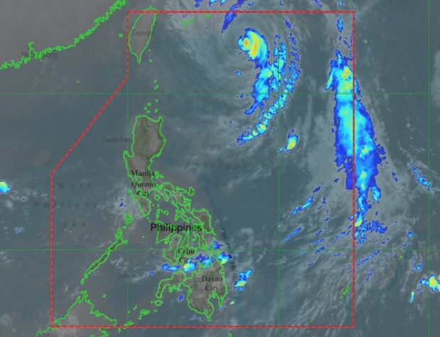
Typhoon ‘Queenie’ can be seen in the upper, right portion of this satellite image from Pagasa. PAGASA IMAGE
Typhoon ‘Queenie’ moved closer to the northern border of the Philippine area of responsibility (PAR) on Thursday, but its trough will continue to bring inclement weather over parts of the country, the weather bureau said.
In its 4 a.m. bulletin, the Philippine Atmospheric, Geophysical and Astronomical Services Administration (Pagasa) said Queenie was 670 kilometers northeast of Basco, Batanes, at 3 a.m, moving northwest with a speed of 20 kilometers per hour (kph).
Its trough, or ridge of low pressure, will bring cloudy skies with scattered rainshowers and thunderstorms over Central and Eastern Visayas, Northern Mindanao, and Caraga, Pagasa said.
Pagasa cautioned residents of affected areas to take precautionary measures for possible flash floods and landslides caused by severe thunderstorms.
Meanwhile, Metro Manila and the rest of the country will have partly cloudy to cloudy skies with isolated rainshowers due to localized thunderstorms.
Queenie was packing maximum sustained winds of 150 kph and gusts up to 185 kph. It is expected to exit the PAR by Friday morning. /cbb