


Urduja weakens after hitting Palawan; moving to West PH Sea
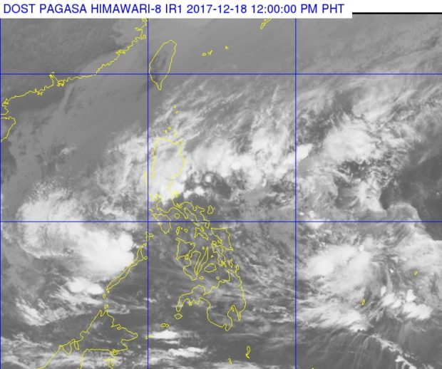
A much smaller cloud cluster of tropical depression ‘Urduja’ can be seen on the lower left corner of this photo from Pagasa. PAGASA PHOTO
Tropical Depression Urduja (international name Kai-tak) weakened after its landfall over Taytay, Palawan, the state weather bureau said midday Monday.
Scattered rain will continue over Palawan, however, the Philippine Atmospheric, Geophysical and Astronomical Services Administration said.
Signal No. 1 remained hoisted over Palawan.
Urduja was last spotted 90 kilometers north-northwest of Puerto Princesa City. It was packing maximum sustained winds of 45 kilometers per hour near the center and gusts of up to 60 kph.
It continued moving westward at 18 kph.
The tropical cyclone was moving towards the West Philippine Sea and is expected to exit the Philippine area of responsibility by Tuesday morning or afternoon.
Scattered rainshowers and thunderstorms are expected over Calabarzon, the Bicol Region, Aurora, Mindoro, Marinduque and Romblon, Pagasa said. /cbb


