Fast Facts
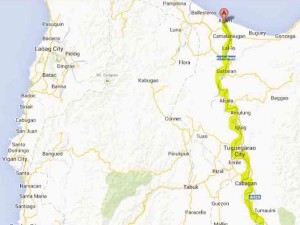
Cagayan River Basin
Brief Information
Regions CAR and Region 2
Provinces Apayao, Kalinga, Ifugao, Benguet, Abra, Quirino, Nueva Vizcaya, Isabela, Cagayan, Nueva Ecija, Aurora, Mountain Province, Ifugao, Benguet, Nueva Vizcaya
No. of
Municipalities 106
No. of villages 2,453
Area 27,752 sq. km.
Name of Rivers Zinundangan, Dumon, Chico, Siffu-Mallig, Magat, Addalam, Ilagan, Tumauini, Balasig, Pinacanauan, Pared, Ganano, Tuguegarao, Diboluan Rivers
River
Classification (2009) Chico River (Upper and Lower Reach)-Class B
and C
Siffu River-Class C
Mallig River-Class B
Magat River-Class C
Addalam River-Class B
Pinacanauan River-Class D
Pared River-Class C
Tuguegarao River (Upper and Lower Reach)- Class B
Hydroelectric Power
1. Magat Multi-Purpose Dam
2. Magat A and B Small
Hydroelectric Plant
3. NIA-Baligatan
4. Tumauini Small
Hydroelectric Plant
5. Casecnan Hydroelectric Power Plant
Land
Classification Alienable/Disposable – 30.55%
Forest Land – 69.45%
Source: https://rbco.denr.gov.ph


