


New LPA may enter PAR over the weekend
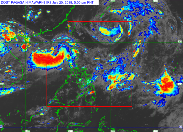
Pagasa satellite image as of 5:00 PM, July 20, 2018
A Low Pressure area (LPA) may enter the Philippine Area of Responsibility (PAR) over the weekend while the monsoon-enhanced Severe Tropical Storm (STS) Inday will continue to dump rains, the state weather bureau said Friday afternoon.
REGIONAL WEATHER FORECAST for #NCR_PRSD
Issued at: 5:00 PM, 20 July 2018
Valid Beginning: 5:00 PM today – 5:00 AM tomorrow pic.twitter.com/IvgkThXf39— PAGASA-DOST (@dost_pagasa) July 20, 2018
Monsoon rains will continue over Metro Manila, Cordillera Administrative Region, Bataan, Zambales, Bulacan, Pampanga, Tarlac, and Nueva Ecija.
The rest of Luzon will experience occasional rains, according to the Philippine Atmospheric Geophysical and Astronomical Services Administration (Pagasa)
Visayas and Mindanao will have partly cloudy to cloudy skies with isolated rainshower, Pagasa said.
The LPA was last spotted 435 kilometers south of Laoag City and may enhance the southwest monsoon when it enters PAR.
On the other hand, STS Inday was last spotted 945 kilometers east of northeast of Basco Batanes.
The tropical storm is expected to exit PAR between Friday evening and Saturday morning, Pagasa said.
Inday packed maximum sustained winds of 90 kilometers per hour near the center and gusts of up to 115 kph, moving northwest slowly. /vvp


